Leopold Suburbs & Region, Leopold Map & Postcodes
Leopold Suburbs & Region, Leopold Map & Postcodes in Leopold, Geelong, VIC, AU
Leopold Region
Region Name
Leopold (VIC, AU)Leopold Area
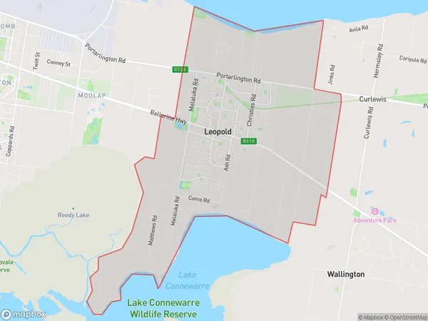
27.93 square kilometers (27.93 ㎢)Postal Codes
3224 (In total, there are 1 postcodes in Leopold.)Leopold Introduction
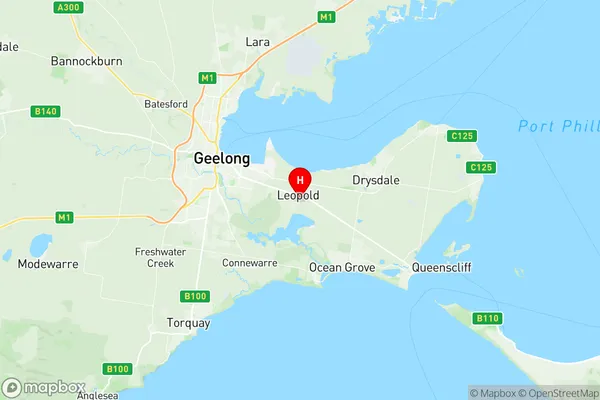
Leopold is a suburb of Geelong, Victoria, Australia. It is located on the Bellarine Peninsula and is about 12 kilometers from Geelong's central business district. The suburb has a population of around 11,000 people and is known for its beautiful beaches, parks, and recreational facilities. Leopold has a rich history, with its first settlers arriving in the 1850s. The suburb was named after Prince Leopold of Belgium, who was a popular figure in Australia during the late 19th century. The suburb has a number of historic buildings, including the Leopold Hotel, which was built in 1889 and is listed on the Victorian Heritage Register. Leopold is also home to a number of popular attractions, including the Leopold Reserve, which is a large park with walking trails, picnic areas, and a playground. The suburb is also home to a number of sporting clubs, including the Leopold Football Club and the Leopold Cricket Club.Australia State
City or Big Region
Greater Capital City
Rest of Vic. (2RVIC)District or Regional Area
Suburb Name
Leopold Region Map

Leopold Postcodes / Zip Codes
Leopold Suburbs
Leopold full address
Leopold, Geelong, Victoria, VIC, Australia, SaCode: 203021044Country
Leopold, Geelong, Victoria, VIC, Australia, SaCode: 203021044
Leopold Suburbs & Region, Leopold Map & Postcodes has 0 areas or regions above, and there are 1 Leopold suburbs below. The sa2code for the Leopold region is 203021044. Its latitude and longitude coordinates are -38.1944,144.467. Leopold area belongs to Australia's greater capital city Rest of Vic..
Leopold Suburbs & Localities
1. Leopold
