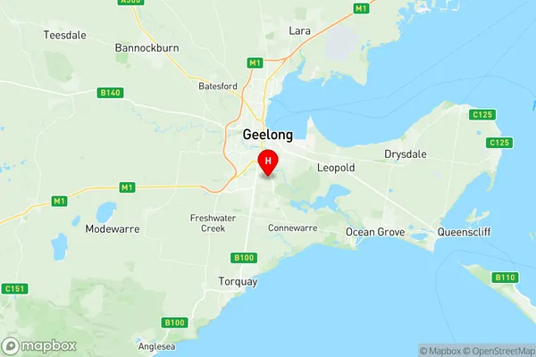
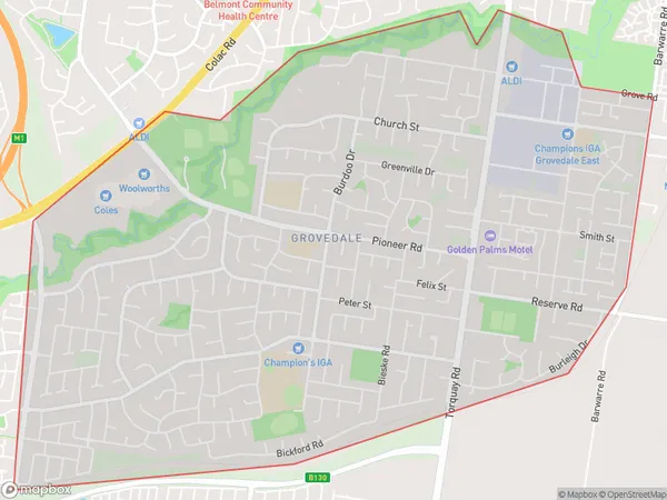
Grovedale Suburbs & Region, Grovedale Map & Postcodes
Grovedale Suburbs & Region, Grovedale Map & Postcodes in Grovedale, Geelong, VIC, AU
Grovedale Region
Region Name
Grovedale (VIC, AU)Postal Codes
3216, and 3217 (In total, there are 2 postcodes in Grovedale.)Grovedale Introduction
Grovedale is a suburb of Geelong, Victoria, Australia. It is located 10 km south-west of Geelong's central business district and is part of the City of Greater Geelong local government area. Grovedale is known for its large shopping district, which includes the Grovedale Shopping Centre and a variety of retail stores, cafes, and restaurants. The suburb also has a number of parks and recreational facilities, including the Grovedale Reserve, which features a playground, walking tracks, and a cricket oval. Grovedale is well-connected to the rest of Geelong via the Western Ring Road and the Princes Freeway. It is also home to a number of schools, including Grovedale Primary School and St John of God College.Australia State
City or Big Region
District or Regional Area
Suburb Name
Grovedale Region Map

Grovedale Postcodes / Zip Codes
Grovedale Suburbs
Grovedale full address
Grovedale, Geelong, Victoria, VIC, Australia, SaCode: 203021041Country
Grovedale, Geelong, Victoria, VIC, Australia, SaCode: 203021041
Grovedale Suburbs & Region, Grovedale Map & Postcodes has 0 areas or regions above, and there are 4 Grovedale suburbs below. The sa2code for the Grovedale region is 203021041. Its latitude and longitude coordinates are -38.2025,144.36.
Grovedale Suburbs & Localities
1. Charlemont
2. Grovedale
3. Grovedale East
4. Marshall
