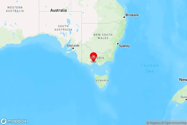
Geelong Area, Geelong Postcode(3220) & Map in Geelong, Geelong, VIC
Geelong Area, Geelong Postcode(3220) & Map in Geelong, Geelong, VIC, AU, Postcode: 3220
Geelong, Geelong, Geelong, Geelong, Victoria, Australia, 3220
Geelong Postcode
Area Name
GeelongGeelong Suburb Area Map (Polygon)

Geelong Introduction
Geelong is a port city in Victoria, Australia, and the second-largest city in the state's southwest. It is known for its vibrant culture, stunning waterfront, and beautiful beaches. Geelong is also home to a number of significant landmarks, including the Geelong Botanic Gardens, the National Wool Museum, and the Geelong Performing Arts Center.State Name
City or Big Region
District or Regional Area
Suburb Name
Geelong Region Map

Country
Main Region in AU
R2Coordinates
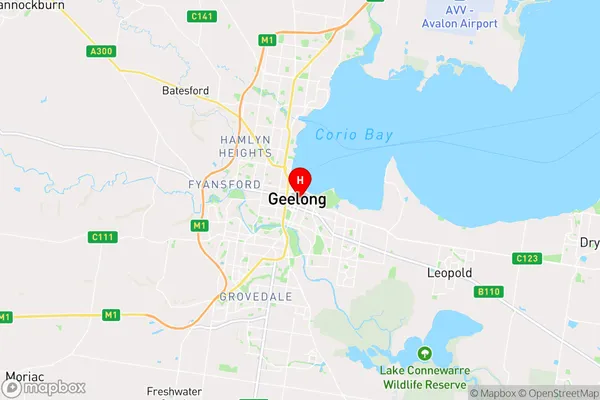
-38.1499181,144.3617186 (latitude/longitude)Geelong Area Map (Street)

Longitude
144.34652Latitude
-38.157038Geelong Elevation
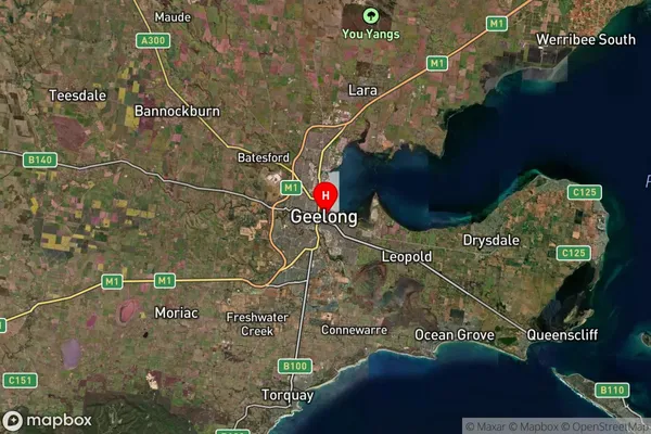
about 25.54 meters height above sea level (Altitude)Geelong Suburb Map (Satellite)

Distances
The distance from Geelong, Geelong, VIC to AU Greater Capital CitiesSA1 Code 2011
20302103902SA1 Code 2016
20302103938SA2 Code
203021039SA3 Code
20302SA4 Code
203RA 2011
1RA 2016
1MMM 2015
1MMM 2019
1Charge Zone
V1LGA Region
Greater GeelongLGA Code
22750Electorate
Corio