Manifold Heights Area, Manifold Heights Postcode(3218) & Map in Manifold Heights, Geelong, VIC
Manifold Heights Area, Manifold Heights Postcode(3218) & Map in Manifold Heights, Geelong, VIC, AU, Postcode: 3218
Manifold Heights, Geelong West - Hamlyn Heights, Geelong, Geelong, Victoria, Australia, 3218
Manifold Heights Postcode
Area Name
Manifold HeightsManifold Heights Suburb Area Map (Polygon)

Manifold Heights Introduction
Manifold Heights is a suburb in Geelong, Victoria, Australia. It is located in the City of Greater Geelong local government area and is 6 km from the central business district of Geelong. The postcode for Manifold Heights is 3218. The suburb was named after the Manifold River, which flows through it. It is a popular residential area with a mix of houses, apartments, and units. It has several parks, including the Manifold Reserve, which has a playground, walking tracks, and a cricket oval.State Name
City or Big Region
District or Regional Area
Suburb Name
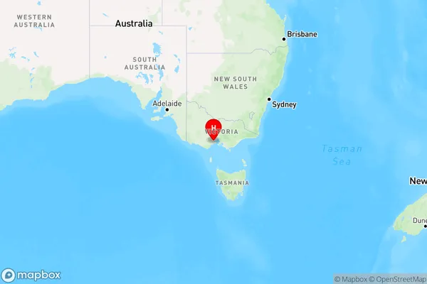
Manifold Heights Region Map

Country
Main Region in AU
R2Coordinates
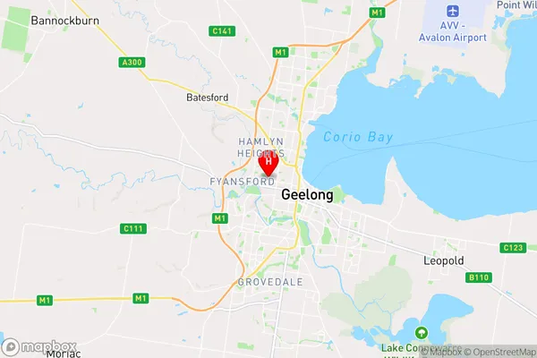
-38.14,144.33 (latitude/longitude)Manifold Heights Area Map (Street)

Longitude
144.330986Latitude
-38.138728Manifold Heights Elevation
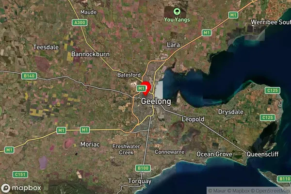
about 67.56 meters height above sea level (Altitude)Manifold Heights Suburb Map (Satellite)

Distances
The distance from Manifold Heights, Geelong, VIC to AU Greater Capital CitiesSA1 Code 2011
20302104005SA1 Code 2016
20302104005SA2 Code
203021040SA3 Code
20302SA4 Code
203RA 2011
1RA 2016
1MMM 2015
1MMM 2019
1Charge Zone
V1LGA Region
Greater GeelongLGA Code
22750Electorate
Corio