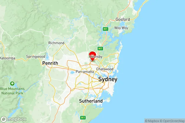
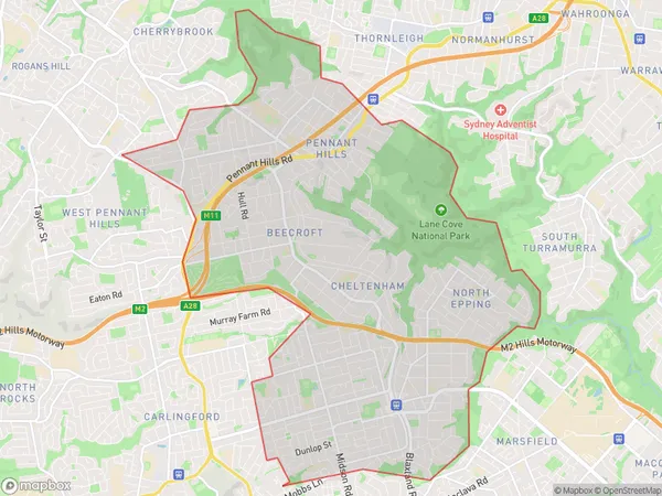
Pennant Hills Epping Suburbs & Region, Pennant Hills Epping Map & Postcodes
Pennant Hills Epping Suburbs & Region, Pennant Hills Epping Map & Postcodes in Pennant Hills Epping, Sydney Ryde, NSW, AU
Pennant Hills Epping Region
Region Name
Pennant Hills Epping (NSW, AU)Pennant Hills Epping Area
22.17 square kilometers (22.17 ㎢)Postal Codes
1715, 1771, 2074, 2119, 2120, 2125, and 2126 (In total, there are 7 postcodes in Pennant Hills Epping.)Pennant Hills Epping Introduction
'Pennant Hills Epping, Sydney Ryde, New South Wales, AU' is a suburb located in the Macarthur region of Sydney, New South Wales, Australia. It is situated 23 kilometers northwest of Sydney's central business district and is part of the Greater Western Sydney region. The suburb is known for its leafy streets, well-maintained parks, and excellent schools. It is home to a diverse population and offers a variety of housing options, from spacious detached homes to modern apartments. Pennant Hills Epping is also well-connected to the rest of Sydney, with easy access to the M2 motorway and public transportation. The suburb has a vibrant community with numerous clubs, restaurants, and shopping centers, making it a popular choice for families and professionals alike.Australia State
City or Big Region
District or Regional Area
Pennant Hills Epping Region Map

Pennant Hills Epping Postcodes / Zip Codes
Pennant Hills Epping Suburbs
West Pennant Hills
Normanhurst Thornleigh Westleigh
Pennant Hills Cheltenham
Epping (East) North Epping
Pennant Hills Epping full address
Pennant Hills Epping, Sydney Ryde, New South Wales, NSW, Australia, SaCode: 12601Country
Pennant Hills Epping, Sydney Ryde, New South Wales, NSW, Australia, SaCode: 12601
Pennant Hills Epping Suburbs & Region, Pennant Hills Epping Map & Postcodes has 7 areas or regions above, and there are 14 Pennant Hills Epping suburbs below. The sa3code for the Pennant Hills Epping region is 12601. Its latitude and longitude coordinates are -33.7389,151.072.
Pennant Hills Epping Suburbs & Localities
1. Pennant Hills
2. Pennant Hills
3. Bobbin Head
4. North Turramurra
5. South Turramurra
6. Turramurra
7. Warrawee
8. Beecroft
9. Cheltenham
10. Pennant Hills
11. Thornleigh
12. Westleigh
13. West Pennant Hills
14. Cherrybrook
