Pennant Hills Area, Pennant Hills Postcode(1715) & Map in Pennant Hills, Sydney - Ryde, NSW
Pennant Hills Area, Pennant Hills Postcode(1715) & Map in Pennant Hills, Sydney - Ryde, NSW, AU, Postcode: 1715
Pennant Hills, Pennant Hills - Cheltenham, Pennant Hills - Epping, Sydney - Ryde, New South Wales, Australia, 1715
Pennant Hills Postcode
Area Name
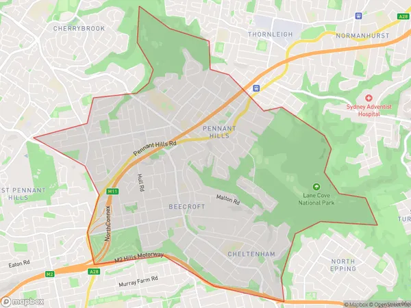
Pennant HillsPennant Hills Suburb Area Map (Polygon)

Pennant Hills Introduction
The Pennant Hills area is located in Sydney's north-west and is part of the Ryde local government area. It is known for its leafy suburbs, scenic parks, and well-maintained homes. The area is popular with families and professionals due to its convenient location, excellent schools, and variety of shopping and dining options. It is also home to several major technology companies and has a thriving business community.State Name
City or Big Region
District or Regional Area
Suburb Name
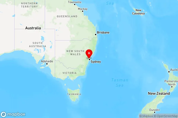
Pennant Hills Region Map

Country
Main Region in AU
R1Coordinates
-33.738881,151.0723841 (latitude/longitude)Pennant Hills Area Map (Street)

Longitude
151.049106Latitude
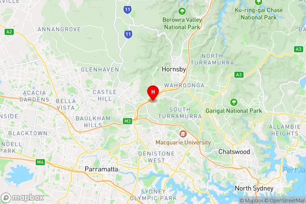
-33.758433Pennant Hills Suburb Map (Satellite)

Distances
The distance from Pennant Hills, Sydney - Ryde, NSW to AU Greater Capital CitiesSA1 Code 2011
12601149602SA1 Code 2016
12601149602SA2 Code
126011496SA3 Code
12601SA4 Code
126RA 2011
1RA 2016
1MMM 2015
1MMM 2019
1Charge Zone
N1LGA Region
ParramattaLGA Code
16260Electorate
Robertson