Sydney Ryde Suburbs & Region, Sydney Ryde Map & Postcodes
Sydney Ryde Suburbs & Region, Sydney Ryde Map & Postcodes in Sydney Ryde, NSW, AU
Sydney Ryde Region
Region Name
Sydney Ryde (NSW, AU)Sydney Ryde Area
69.34 square kilometers (69.34 ㎢)Postal Codes
1670, 1675, 1680, 1685, 1710, 1715, 1771, 2074, from 2109 to 2114, from 2118 to 2122, 2125, and 2126 (In total, there are 21 postcodes in Sydney Ryde.)Sydney Ryde Introduction
Sydney Ryde is a suburb of Sydney, located in the state of New South Wales, Australia. It is situated 21 kilometers northwest of the Sydney central business district and is part of the Macarthur region. Ryde is known for its well-developed infrastructure, including shopping centers, parks, and educational institutions. It is also home to several major companies and has a large population of professionals and families. The suburb is well-connected to other parts of Sydney via public transportation, including buses and trains.Australia State
City or Big Region
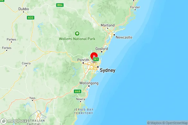
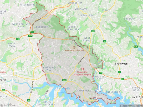
Sydney Ryde Region Map

Sydney Ryde Postcodes / Zip Codes
Sydney Ryde Suburbs
Pennant Hills Epping
Ryde Hunters Hill
Sydney Ryde full address
Sydney Ryde, New South Wales, NSW, Australia, SaCode: 126Country
Sydney Ryde, New South Wales, NSW, Australia, SaCode: 126
Sydney Ryde Suburbs & Region, Sydney Ryde Map & Postcodes has 2 areas or regions above, and there are 52 Sydney Ryde suburbs below. The sa4code for the Sydney Ryde region is 126. Its latitude and longitude coordinates are -33.7389,151.072.
Sydney Ryde Suburbs & Localities
1. West Pennant Hills
2. Cherrybrook
3. Westleigh
4. Turramurra
5. Carlingford North
6. Melrose Park
7. Epping
8. North Epping
9. Pennant Hills
10. Beecroft
11. Denistone East
12. Eastwood
13. Gladesville
14. Huntleys Point
15. Hunters Hill
16. Macquarie University
17. Macquarie Centre
18. North Ryde Bc
19. West Ryde
20. Ryde
