Eastwood Area, Eastwood Postcode(2122) & Map in Eastwood, Sydney - Ryde, NSW
Eastwood Area, Eastwood Postcode(2122) & Map in Eastwood, Sydney - Ryde, NSW, AU, Postcode: 2122
Eastwood, Eastwood - Denistone, Ryde - Hunters Hill, Sydney - Ryde, New South Wales, Australia, 2122
Eastwood Postcode
Area Name
EastwoodEastwood Suburb Area Map (Polygon)

Eastwood Introduction
Eastwood is a suburb in the Ryde local government area of New South Wales, Australia. It is located 16 kilometres north-west of Sydney's central business district and is part of the Greater Sydney region. Eastwood is known for its large shopping centre, Eastwood Plaza, which includes a variety of retail stores, restaurants, and entertainment options. The suburb also has a number of parks and recreational facilities, including Eastwood Park and Eastwood Golf Course.State Name
City or Big Region
District or Regional Area
Suburb Name
Eastwood Region Map

Country
Main Region in AU
R1Coordinates
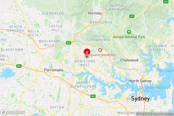
-33.790362,151.081731 (latitude/longitude)Eastwood Area Map (Street)
Longitude
151.092072Latitude
-33.791357Eastwood Elevation
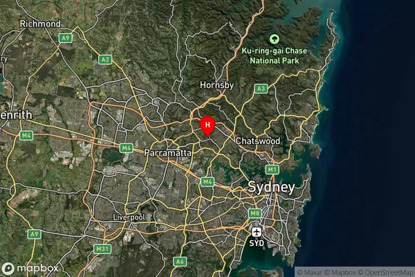
about 77.87 meters height above sea level (Altitude)Eastwood Suburb Map (Satellite)
Distances
The distance from Eastwood, Sydney - Ryde, NSW to AU Greater Capital CitiesSA1 Code 2011
12602149721SA1 Code 2016
12602149721SA2 Code
126021497SA3 Code
12602SA4 Code
126RA 2011
1RA 2016
1MMM 2015
1MMM 2019
1Charge Zone
N1LGA Region
RydeLGA Code
16700Electorate
Bennelong