Cheltenham Area, Cheltenham Postcode(2119) & Map in Cheltenham, Sydney - Ryde, NSW
Cheltenham Area, Cheltenham Postcode(2119) & Map in Cheltenham, Sydney - Ryde, NSW, AU, Postcode: 2119
Cheltenham, Pennant Hills - Cheltenham, Pennant Hills - Epping, Sydney - Ryde, New South Wales, Australia, 2119
Cheltenham Postcode
Area Name
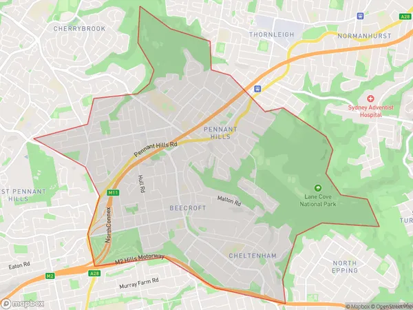
CheltenhamCheltenham Suburb Area Map (Polygon)

Cheltenham Introduction
Cheltenham is a suburb in Sydney's North Shore, located 12 kilometres north-east of the Sydney central business district. It is part of the Macquarie Fields local government area and is known for its high-quality housing, leafy streets, and excellent public transport links. The suburb has a rich history and was originally developed as a residential area for wealthy families. It is home to several historic buildings, including the Cheltenham Girls' High School and the Cheltenham Presbyterian Church.State Name
City or Big Region
District or Regional Area
Suburb Name
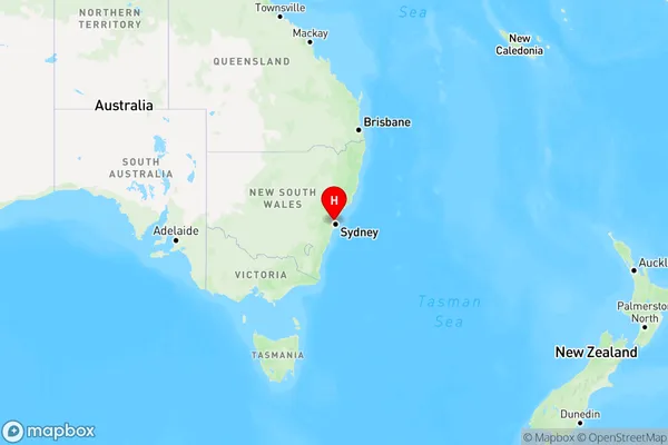
Cheltenham Region Map

Country
Main Region in AU
R1Coordinates
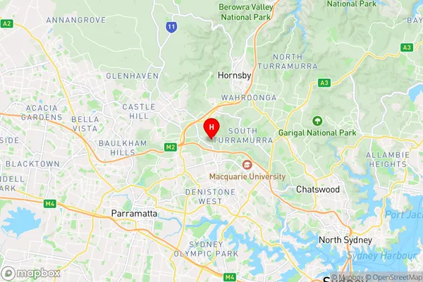
-33.7553681,151.078072 (latitude/longitude)Cheltenham Area Map (Street)

Longitude
151.064176Latitude
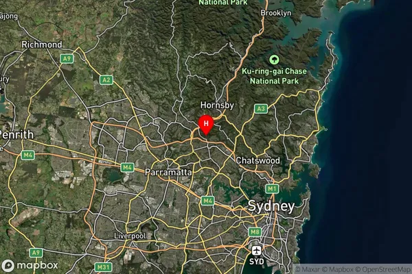
-33.755499Cheltenham Suburb Map (Satellite)

Distances
The distance from Cheltenham, Sydney - Ryde, NSW to AU Greater Capital CitiesSA1 Code 2011
12601149646SA1 Code 2016
12601149646SA2 Code
126011496SA3 Code
12601SA4 Code
126RA 2011
1RA 2016
1MMM 2015
1MMM 2019
1Charge Zone
N1LGA Region
ParramattaLGA Code
16260Electorate
Berowra