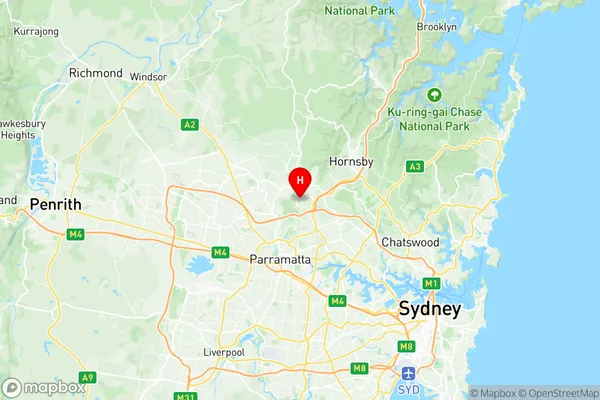
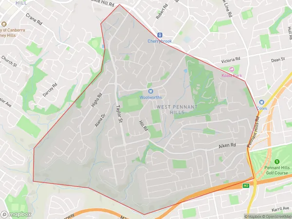
West Pennant Hills Suburbs & Region, West Pennant Hills Map & Postcodes
West Pennant Hills Suburbs & Region, West Pennant Hills Map & Postcodes in West Pennant Hills, Pennant Hills Epping, Sydney Ryde, NSW, AU
West Pennant Hills Region
Region Name
West Pennant Hills (NSW, AU)West Pennant Hills Area
7.83 square kilometers (7.83 ㎢)West Pennant Hills Introduction
West Pennant Hills is a suburb in the northern suburbs of Sydney, in the state of New South Wales, Australia. It is located 22 kilometers northwest of the Sydney central business district and is part of the Hills District local government area. West Pennant Hills is a relatively new suburb, with most of the development occurring in the 1990s and 2000s. The suburb is known for its spacious houses, leafy streets, and excellent infrastructure. It has a variety of shops, restaurants, and parks, including the West Pennant Hills Park and the Pennant Hills Reserve. West Pennant Hills is also home to several major corporations, including Macquarie Bank and Optus. The suburb is well-connected to the rest of Sydney, with easy access to the M2 motorway and the North West Rail Line.Australia State
City or Big Region
Greater Capital City
Greater Sydney (1GSYD)District or Regional Area
Suburb Name
West Pennant Hills Region Map

West Pennant Hills Suburbs
West Pennant Hills full address
West Pennant Hills, Pennant Hills Epping, Sydney Ryde, New South Wales, NSW, Australia, SaCode: 115011296Country
West Pennant Hills, Pennant Hills Epping, Sydney Ryde, New South Wales, NSW, Australia, SaCode: 115011296
West Pennant Hills Suburbs & Region, West Pennant Hills Map & Postcodes has 0 areas or regions above, and there are 0 West Pennant Hills suburbs below. The sa2code for the West Pennant Hills region is 115011296. Its latitude and longitude coordinates are -33.7462,151.03. West Pennant Hills area belongs to Australia's greater capital city Greater Sydney.
