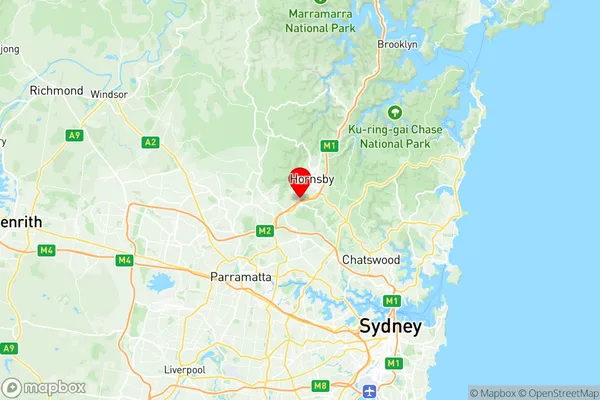
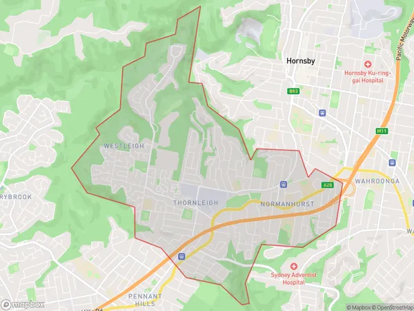
Normanhurst Thornleigh Westleigh Suburbs & Region, Normanhurst Thornleigh Westleigh Map & Postcodes
Normanhurst Thornleigh Westleigh Suburbs & Region, Normanhurst Thornleigh Westleigh Map & Postcodes in Normanhurst Thornleigh Westleigh, Pennant Hills Epping, Sydney Ryde, NSW, AU
Normanhurst Thornleigh Westleigh Region
Region Name
Normanhurst Thornleigh Westleigh (NSW, AU)Normanhurst Thornleigh Westleigh Area
9.99 square kilometers (9.99 ㎢)Postal Codes
2076, and 2120 (In total, there are 2 postcodes in Normanhurst Thornleigh Westleigh.)Normanhurst Thornleigh Westleigh Introduction
Normanhurst Thornleigh Westleigh is a suburb located in the Macarthur region of Sydney, New South Wales, Australia. It is situated 26 kilometers south-west of the Sydney central business district and is part of the City of Canada Bay. The suburb is named after the Normanhurst family, who were early landholders in the area. Normanhurst Thornleigh Westleigh is a well-established suburb with a mix of residential and commercial properties. It is home to several parks, including Westleigh Park, which features a children's playground, picnic facilities, and a cricket oval. The suburb also has a shopping center, with a variety of stores and restaurants, including a supermarket, pharmacy, and coffee shops. Normanhurst Thornleigh Westleigh is well-connected to other parts of Sydney, with easy access to the M4 motorway and several bus routes. It is also within walking distance of Westleigh Station, which provides frequent services to the city center.Australia State
City or Big Region
Greater Capital City
Greater Sydney (1GSYD)District or Regional Area
Suburb Name
Normanhurst Thornleigh Westleigh Region Map

Normanhurst Thornleigh Westleigh Postcodes / Zip Codes
Normanhurst Thornleigh Westleigh Suburbs
Normanhurst Thornleigh Westleigh full address
Normanhurst Thornleigh Westleigh, Pennant Hills Epping, Sydney Ryde, New South Wales, NSW, Australia, SaCode: 121021406Country
Normanhurst Thornleigh Westleigh, Pennant Hills Epping, Sydney Ryde, New South Wales, NSW, Australia, SaCode: 121021406
Normanhurst Thornleigh Westleigh Suburbs & Region, Normanhurst Thornleigh Westleigh Map & Postcodes has 0 areas or regions above, and there are 3 Normanhurst Thornleigh Westleigh suburbs below. The sa2code for the Normanhurst Thornleigh Westleigh region is 121021406. Its latitude and longitude coordinates are -33.7262,151.084. Normanhurst Thornleigh Westleigh area belongs to Australia's greater capital city Greater Sydney.
Normanhurst Thornleigh Westleigh Suburbs & Localities
1. Normanhurst
2. Westleigh
3. Thornleigh
