Bobbin Head Area, Bobbin Head Postcode(2074) & Map in Bobbin Head, Sydney - North Sydney and Hornsby, NSW
Bobbin Head Area, Bobbin Head Postcode(2074) & Map in Bobbin Head, Sydney - North Sydney and Hornsby, NSW, AU, Postcode: 2074
Bobbin Head, Turramurra, Ku-ring-gai, Sydney - North Sydney and Hornsby, New South Wales, Australia, 2074
Bobbin Head Postcode
Area Name
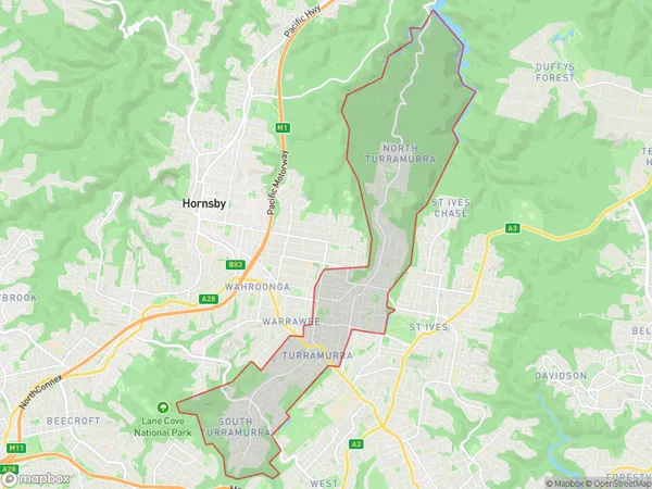
Bobbin HeadBobbin Head Suburb Area Map (Polygon)

Bobbin Head Introduction
Bobbin Head is a headland located in the northern suburbs of Sydney, Australia. It is part of the Northern Beaches region and is known for its scenic views, walking trails, and recreational facilities. The headland is named after the bobbin head tree, which is native to the area and provides a habitat for various bird species. It is also a popular spot for fishing, with a fishing pier located at the southern end of the headland.State Name
City or Big Region
District or Regional Area
Suburb Name
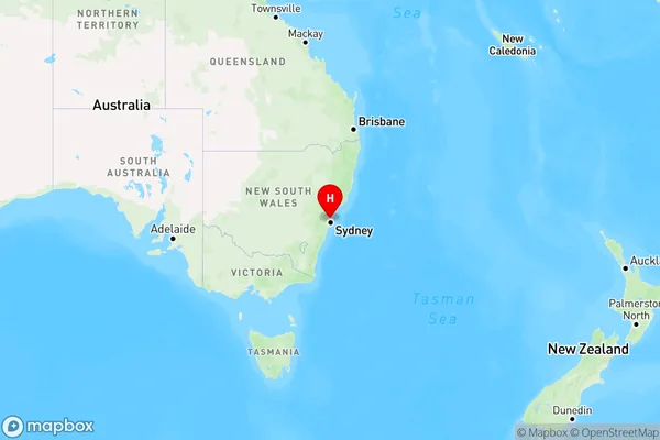
Bobbin Head Region Map

Country
Main Region in AU
R1Coordinates
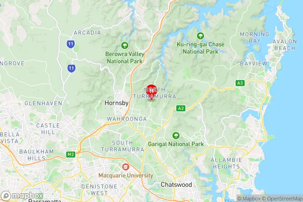
-33.7,151.148 (latitude/longitude)Bobbin Head Area Map (Street)

Longitude
151.123716Latitude
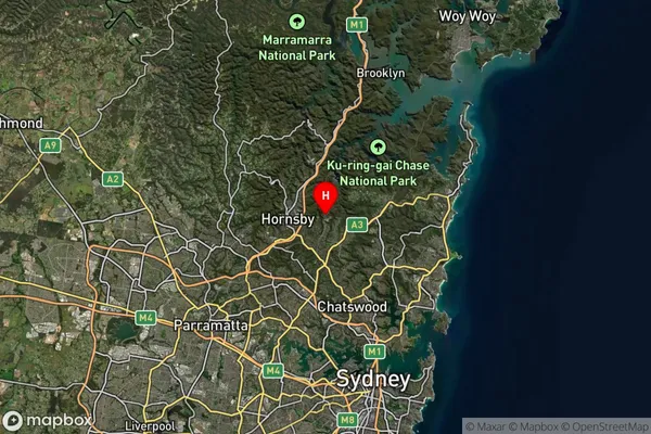
-33.735222Bobbin Head Suburb Map (Satellite)

Distances
The distance from Bobbin Head, Sydney - North Sydney and Hornsby, NSW to AU Greater Capital CitiesSA1 Code 2011
12103141113SA1 Code 2016
12103141113SA2 Code
121031411SA3 Code
12103SA4 Code
121RA 2011
1RA 2016
1MMM 2015
1MMM 2019
1Charge Zone
N1LGA Region
Ku-ring-gaiLGA Code
14500Electorate
Bradfield