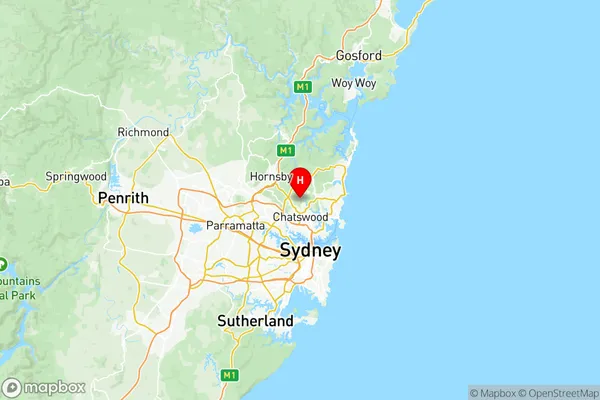
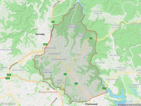
Ku-ring-gai Suburbs & Region, Ku-ring-gai Map & Postcodes
Ku-ring-gai Suburbs & Region, Ku-ring-gai Map & Postcodes in Ku-ring-gai, Sydney North Sydney and Hornsby, NSW, AU
Ku-ring-gai Region
Region Name
Ku-ring-gai (NSW, AU)Ku-ring-gai Area
85.55 square kilometers (85.55 ㎢)Postal Codes
from 2069 to 2073, 2075, and 2076 (In total, there are 7 postcodes in Ku-ring-gai.)Ku-ring-gai Introduction
Ku-ring-gai, Sydney North Sydney, and Hornsby is a suburb in the Upper North Shore of Sydney, in the state of New South Wales, Australia. It is located 18 kilometers north-east of the Sydney central business district and is part of the Macarthur region. The suburb is named after the Ku-ring-gai Chase National Park, which covers much of its area. Ku-ring-gai is known for its leafy streets, parks, and well-maintained homes. It has a variety of shopping centers, including the Chatswood Chase Shopping Centre and the Westfield Chatswood. The area is also home to several prestigious schools, including North Sydney Girls High School and St Joseph's College.Australia State
City or Big Region
District or Regional Area
Ku-ring-gai Region Map

Ku-ring-gai Postcodes / Zip Codes
Ku-ring-gai Suburbs
Willoughby Castle Cove Northbridge
Wahroonga (East) Warrawee
Ku-ring-gai full address
Ku-ring-gai, Sydney North Sydney and Hornsby, New South Wales, NSW, Australia, SaCode: 12103Country
Ku-ring-gai, Sydney North Sydney and Hornsby, New South Wales, NSW, Australia, SaCode: 12103
Ku-ring-gai Suburbs & Region, Ku-ring-gai Map & Postcodes has 6 areas or regions above, and there are 17 Ku-ring-gai suburbs below. The sa3code for the Ku-ring-gai region is 12103. Its latitude and longitude coordinates are -33.7559,151.18.
Ku-ring-gai Suburbs & Localities
1. Roseville
2. East Lindfield
3. Lindfield
4. Lindfield West
5. Gordon
6. St Ives
7. Roseville Chase
8. East Killara
9. St Ives Chase
10. Normanhurst
11. North Wahroonga
12. Castle Cove
13. Wahroonga
14. Killara
15. Pymble
16. West Pymble
17. North St Ives
