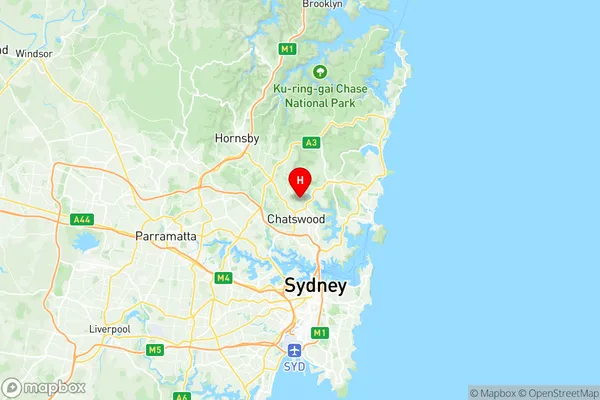
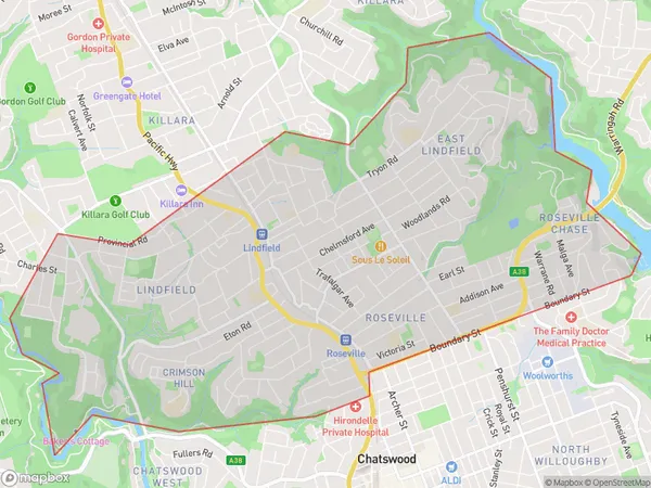
Lindfield Roseville Suburbs & Region, Lindfield Roseville Map & Postcodes
Lindfield Roseville Suburbs & Region, Lindfield Roseville Map & Postcodes in Lindfield Roseville, Ku-ring-gai, Sydney North Sydney and Hornsby, NSW, AU
Lindfield Roseville Region
Region Name
Lindfield Roseville (NSW, AU)Lindfield Roseville Area
11.88 square kilometers (11.88 ㎢)Lindfield Roseville Introduction
Lindfield Roseville, Sydney North Sydney and Hornsby is a suburb located in the Upper North Shore of Sydney, in the state of New South Wales, Australia. It is situated 16 kilometers north-west of the Sydney central business district and is part of the Macarthur region. The suburb is named after the Lindfield railway station, which was opened on 1 October 1889. Lindfield Roseville is a well-established suburb with a mix of residential and commercial properties. It is home to several parks, including Roseville Chase Reserve, which features a children's playground, picnic areas, and walking trails. The suburb also has a shopping center, with a variety of stores, including supermarkets, specialty shops, and restaurants. Lindfield Roseville is well-connected to other parts of Sydney, with easy access to the North Shore Line and the Sydney Metro. It is also located near several prestigious schools, including Lindfield Public School, Roseville College, and Chatswood High School. In summary, Lindfield Roseville is a convenient and well-appointed suburb with a mix of residential and commercial properties, excellent transport links, and a range of amenities. It is a popular choice for families and professionals looking to live in the Upper North Shore area of Sydney.Australia State
City or Big Region
Greater Capital City
Greater Sydney (1GSYD)District or Regional Area
Suburb Name
Lindfield Roseville Region Map

Lindfield Roseville Suburbs
Lindfield Roseville full address
Lindfield Roseville, Ku-ring-gai, Sydney North Sydney and Hornsby, New South Wales, NSW, Australia, SaCode: 121031408Country
Lindfield Roseville, Ku-ring-gai, Sydney North Sydney and Hornsby, New South Wales, NSW, Australia, SaCode: 121031408
Lindfield Roseville Suburbs & Region, Lindfield Roseville Map & Postcodes has 0 areas or regions above, and there are 0 Lindfield Roseville suburbs below. The sa2code for the Lindfield Roseville region is 121031408. Its latitude and longitude coordinates are -33.7727,151.187. Lindfield Roseville area belongs to Australia's greater capital city Greater Sydney.
