St Ives Chase Area, St Ives Chase Postcode(2075) & Map in St Ives Chase, Sydney - North Sydney and Hornsby, NSW
St Ives Chase Area, St Ives Chase Postcode(2075) & Map in St Ives Chase, Sydney - North Sydney and Hornsby, NSW, AU, Postcode: 2075
St Ives Chase, St Ives, Ku-ring-gai, Sydney - North Sydney and Hornsby, New South Wales, Australia, 2075
St Ives Chase Postcode
Area Name
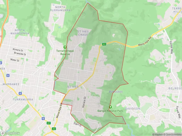
St Ives ChaseSt Ives Chase Suburb Area Map (Polygon)

St Ives Chase Introduction
St Ives Chase is a residential suburb located in the Upper North Shore of Sydney, in the state of New South Wales, Australia. It is situated between the suburbs of North Sydney and Hornsby. The area is known for its leafy streets, well-maintained homes, and peaceful atmosphere. It is also home to several parks, including St Ives Park and North Sydney Oval. The suburb is well-connected to the city via public transport, with several bus routes and the North Shore railway line passing through it.State Name
City or Big Region
District or Regional Area
Suburb Name
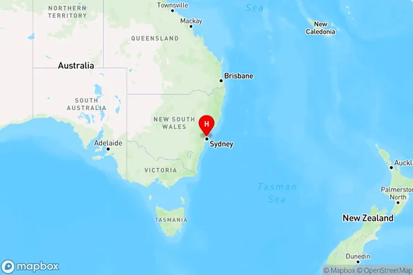
St Ives Chase Region Map

Country
Main Region in AU
R1Coordinates
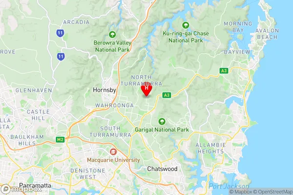
-33.711,151.1595 (latitude/longitude)St Ives Chase Area Map (Street)

Longitude
151.16729Latitude
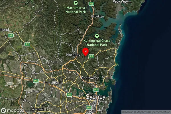
-33.723693St Ives Chase Suburb Map (Satellite)

Distances
The distance from St Ives Chase, Sydney - North Sydney and Hornsby, NSW to AU Greater Capital CitiesSA1 Code 2011
12103141013SA1 Code 2016
12103141013SA2 Code
121031410SA3 Code
12103SA4 Code
121RA 2011
1RA 2016
1MMM 2015
1MMM 2019
1Charge Zone
N1LGA Region
Ku-ring-gaiLGA Code
14500Electorate
Bradfield