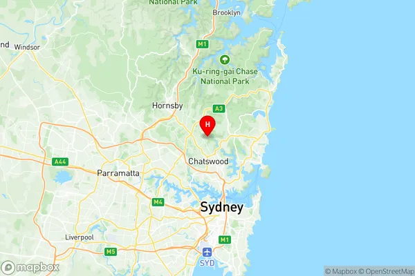
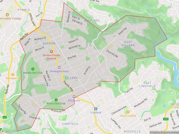
Gordon Killara Suburbs & Region, Gordon Killara Map & Postcodes
Gordon Killara Suburbs & Region, Gordon Killara Map & Postcodes in Gordon Killara, Ku-ring-gai, Sydney North Sydney and Hornsby, NSW, AU
Gordon Killara Region
Region Name
Gordon Killara (NSW, AU)Gordon Killara Area
11.67 square kilometers (11.67 ㎢)Postal Codes
2071, and 2072 (In total, there are 2 postcodes in Gordon Killara.)Gordon Killara Introduction
Gordon Killara is a suburb in northern Sydney, in the state of New South Wales, Australia. It is located 15 kilometers north of the Sydney central business district and is part of the Northern Beaches Council. Killara is named after a local indigenous man, Gordon, who was a leader of the Darug people. The suburb has a mix of residential and commercial properties, with many large houses and apartments overlooking the Pacific Ocean. Killara has a number of parks and recreational facilities, including Killara Golf Course, which is one of the best in Sydney. The suburb is also home to a number of prestigious schools, including Killara High School and Ravenswood School for Girls.Australia State
City or Big Region
Greater Capital City
Greater Sydney (1GSYD)District or Regional Area
Suburb Name
Gordon Killara Region Map

Gordon Killara Postcodes / Zip Codes
Gordon Killara Suburbs
Gordon Killara full address
Gordon Killara, Ku-ring-gai, Sydney North Sydney and Hornsby, New South Wales, NSW, Australia, SaCode: 121031407Country
Gordon Killara, Ku-ring-gai, Sydney North Sydney and Hornsby, New South Wales, NSW, Australia, SaCode: 121031407
Gordon Killara Suburbs & Region, Gordon Killara Map & Postcodes has 0 areas or regions above, and there are 3 Gordon Killara suburbs below. The sa2code for the Gordon Killara region is 121031407. Its latitude and longitude coordinates are -33.7559,151.18. Gordon Killara area belongs to Australia's greater capital city Greater Sydney.
Gordon Killara Suburbs & Localities
1. Gordon
2. East Killara
3. Killara
