Wahroonga Area, Wahroonga Postcode(2076) & Map in Wahroonga, Sydney - North Sydney and Hornsby, NSW
Wahroonga Area, Wahroonga Postcode(2076) & Map in Wahroonga, Sydney - North Sydney and Hornsby, NSW, AU, Postcode: 2076
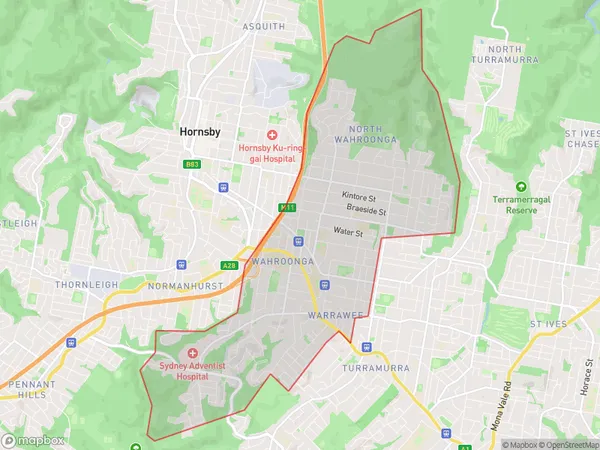
Wahroonga, Wahroonga (East) - Warrawee, Ku-ring-gai, Sydney - North Sydney and Hornsby, New South Wales, Australia, 2076
Wahroonga Postcode
Area Name
WahroongaWahroonga Suburb Area Map (Polygon)

Wahroonga Introduction
Wahroonga is a suburb in northern Sydney, located between the Ku-ring-gai Chase National Park and the Pacific Highway. It is known for its scenic bushland, picturesque homes, and tranquil atmosphere. The area has a rich history and was once home to the Guringai Aboriginal people. Wahroonga is a popular destination for outdoor enthusiasts, with many walking and hiking trails and a variety of parks and reserves. It is also home to several prestigious schools, including Ravenswood School for Girls and North Sydney Boys High School.State Name
City or Big Region
District or Regional Area
Suburb Name
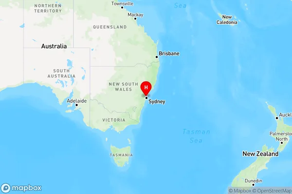
Wahroonga Region Map

Country
Main Region in AU
R1Coordinates
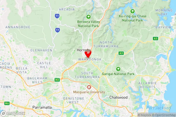
-33.7186308,151.1103686 (latitude/longitude)Wahroonga Area Map (Street)

Longitude
151.108249Latitude
-33.723263Wahroonga Elevation
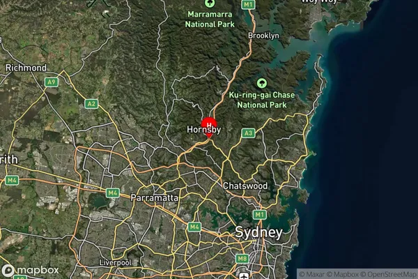
about 112.79 meters height above sea level (Altitude)Wahroonga Suburb Map (Satellite)

Distances
The distance from Wahroonga, Sydney - North Sydney and Hornsby, NSW to AU Greater Capital CitiesSA1 Code 2011
12103141223SA1 Code 2016
12103141223SA2 Code
121031412SA3 Code
12103SA4 Code
121RA 2011
1RA 2016
1MMM 2015
1MMM 2019
1Charge Zone
N1LGA Region
Ku-ring-gaiLGA Code
14500Electorate
Bradfield