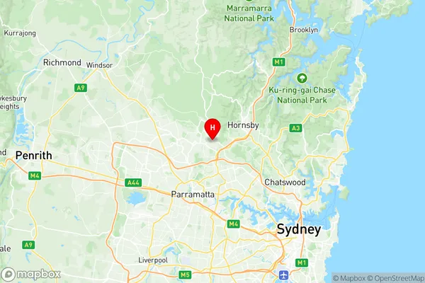
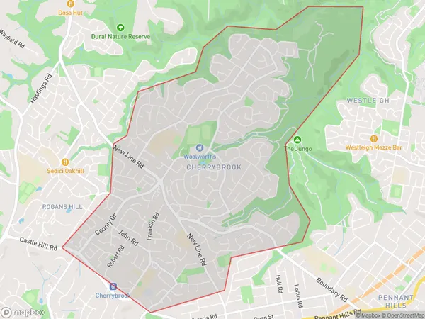
Cherrybrook Suburbs & Region, Cherrybrook Map & Postcodes
Cherrybrook Suburbs & Region, Cherrybrook Map & Postcodes in Cherrybrook, Pennant Hills Epping, Sydney Ryde, NSW, AU
Cherrybrook Region
Region Name
Cherrybrook (NSW, AU)Cherrybrook Area
8.25 square kilometers (8.25 ㎢)Cherrybrook Introduction
Cherrybrook is a suburb in the city of Ryde, New South Wales, Australia. It is located 18 kilometers northwest of Sydney's central business district and is part of the Greater Sydney region. The suburb is known for its large shopping center, which includes a variety of stores, restaurants, and entertainment options. Cherrybrook is also home to a number of parks and recreational facilities, including the Cherrybrook Technology Park and the Cherrybrook Aquatic Centre. The population of Cherrybrook is approximately 20,000 people.Australia State
City or Big Region
Greater Capital City
Greater Sydney (1GSYD)District or Regional Area
Suburb Name
Cherrybrook Region Map

Cherrybrook Suburbs
Cherrybrook full address
Cherrybrook, Pennant Hills Epping, Sydney Ryde, New South Wales, NSW, Australia, SaCode: 115011558Country
Cherrybrook, Pennant Hills Epping, Sydney Ryde, New South Wales, NSW, Australia, SaCode: 115011558
Cherrybrook Suburbs & Region, Cherrybrook Map & Postcodes has 0 areas or regions above, and there are 0 Cherrybrook suburbs below. The sa2code for the Cherrybrook region is 115011558. Its latitude and longitude coordinates are -33.7287,151.041. Cherrybrook area belongs to Australia's greater capital city Greater Sydney.
