Waipa Suburbs & Region, Waipa Map & Postcodes in Waipa, Waikato
Waipa Postcodes, Waipa ZipCodes, Waipa , Waipa Waikato, Waipa Suburbs, Waipa Region, Waipa Map, Waipa Area
Waipa Region (Waipapa Region)
Waipa Suburbs
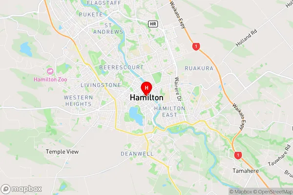
Waipa is a district place type in Waikato, NZ. It contains 17 suburbs or localities.Waipa district
WaipaWaipa Region Map
Waipa Introduction
Waipa is a small town in Waikato, New Zealand, with a population of around 1,000 people. It is located on the banks of the Waipa River and is known for its beautiful countryside and historic buildings. The town has a primary school, a post office, a supermarket, and a variety of cafes and restaurants. Waipa is also home to a number of historic sites, including the Waipa Domain, which was once the home of the Waipa County Council. The town is surrounded by farmland and is a popular destination for outdoor activities such as hiking, cycling, and fishing.Waipa Region
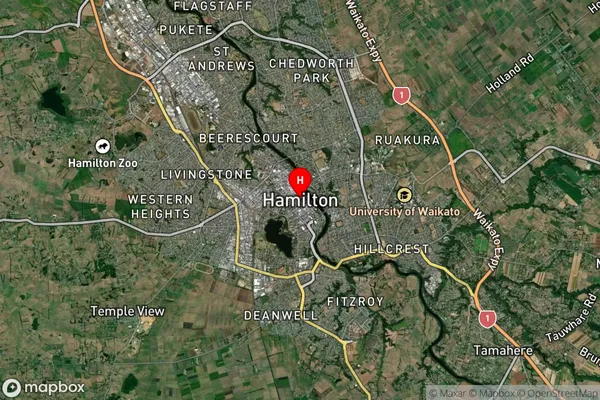
Waipa Satellite Map
Full Address
Waipa, WaikatoWaipa Coordinates
-37.7878809,175.281788 (Latitude / Longitude)Waipa Map in NZ
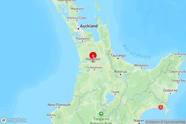
NZ Island
North IslandCountry
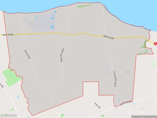
Waipa Area Map (Polygon)
Name
MotunuiAdditional Name
WaipapaLocal Authority
New Plymouth District
Waipa Suburbs (Sort by Population)
Motunui also known as Waipapa. Motunui suburb has around
25.6 square
kilometers.There are more than 251 people (estimated)
live in Motunui, , Taranaki, New Zealand.
Waipa Suburbs (Sort in alphabetical)
Cambridge
Hamilton Airport
Kaipaki
Karapiro
Kihikihi
Leamington
Ngahinapouri
Ohaupo
Pirongia
Pukeatua
Rotoorangi
Rukuhia
Te Awamutu
Te Miro
Te Pahu
Tokanui
Wharepapa South