Rukuhia Suburbs & Region, Rukuhia Map & Postcodes in Rukuhia, Waipa, Waikato
Rukuhia Postcodes, Rukuhia ZipCodes, Rukuhia , Rukuhia Waikato, Rukuhia Suburbs, Rukuhia Region, Rukuhia Map, Rukuhia Area
Rukuhia Region
Rukuhia Suburbs
Rukuhia is a suburb place type in Waipa, Waikato, NZ. It contains 0 suburbs or localities.Rukuhia district
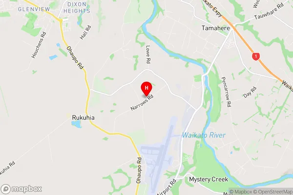
WaipaRukuhia Region Map
Rukuhia Introduction
Rukuhia is a small town in Waikato, New Zealand, located on State Highway 1. It is known for its historic church, which was built in 1878 and is one of the oldest wooden churches in the country. The town also has a public library, a sports field, and a community hall. Rukuhia is surrounded by farmland and has a peaceful rural atmosphere. The population of the town is around 500 people.Rukuhia Region
Rukuhia City
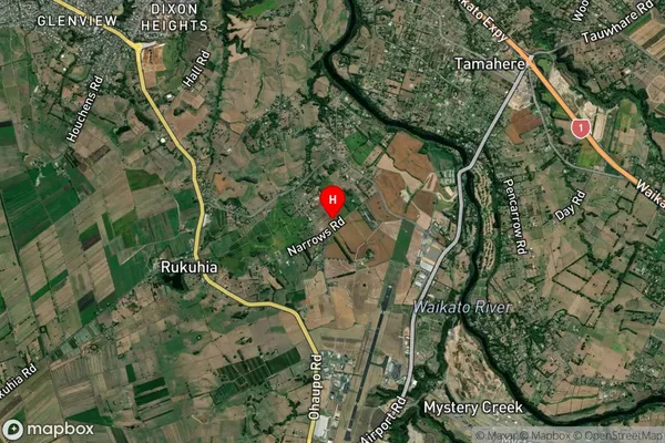
Rukuhia Satellite Map
Full Address
Rukuhia, Waipa, WaikatoRukuhia Coordinates
-37.847966,175.327148 (Latitude / Longitude)Rukuhia Map in NZ
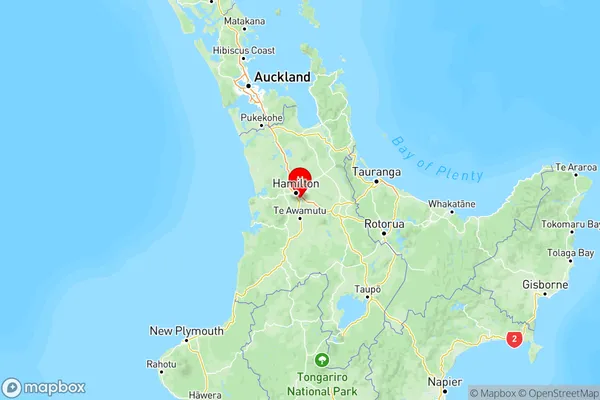
NZ Island
North IslandCountry
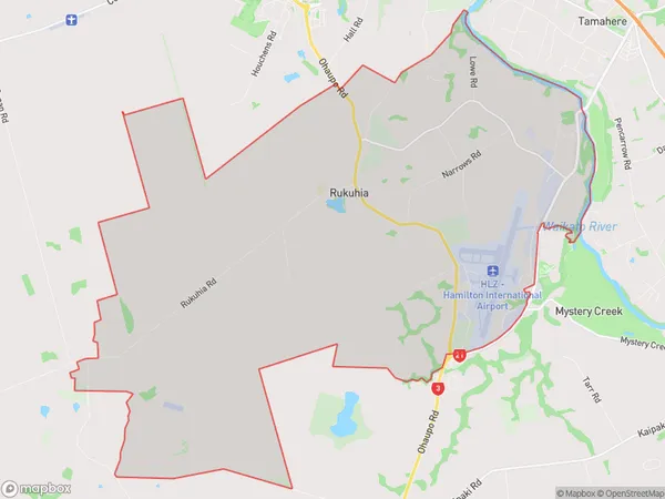
Rukuhia Area Map (Polygon)
Name
RukuhiaAdditional Name
Local Authority
Waipa District
Rukuhia Suburbs (Sort by Population)
Rukuhia suburb has around
42.9 square
kilometers.There are more than 1274 people (estimated)
live in Rukuhia, Hamilton, Waikato, New Zealand.