Ngahinapouri Suburbs & Region, Ngahinapouri Map & Postcodes in Ngahinapouri, Waipa, Waikato
Ngahinapouri Postcodes, Ngahinapouri ZipCodes, Ngahinapouri , Ngahinapouri Waikato, Ngahinapouri Suburbs, Ngahinapouri Region, Ngahinapouri Map, Ngahinapouri Area
Ngahinapouri Region (Te Rore, Tuhikaramea Region)
Ngahinapouri Suburbs
Ngahinapouri is a suburb place type in Waipa, Waikato, NZ. It contains 0 suburbs or localities.Ngahinapouri district
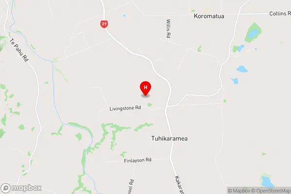
WaipaNgahinapouri Region Map
Ngahinapouri Introduction
Ngahinapouri is a small town in the Waikato region of New Zealand, located on the banks of the Ngahinapouri River. It is known for its stunning natural scenery, including waterfalls, forests, and a network of hiking and biking trails. The town has a population of around 1,000 people and is a popular destination for outdoor enthusiasts and nature lovers. Ngahinapouri also has a historic steam train station, which is a popular tourist attraction. The town is surrounded by farmland and is located about 100 kilometers north of Hamilton, the region's largest city.Ngahinapouri Region
Ngahinapouri City
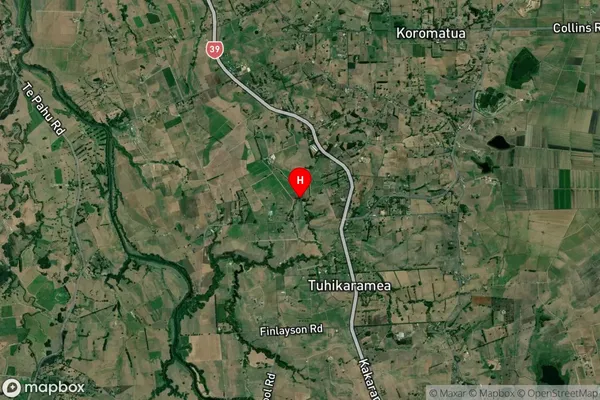
Ngahinapouri Satellite Map
Full Address
Ngahinapouri, Waipa, WaikatoNgahinapouri Coordinates
-37.855467,175.185047 (Latitude / Longitude)Ngahinapouri Map in NZ

NZ Island
North IslandCountry
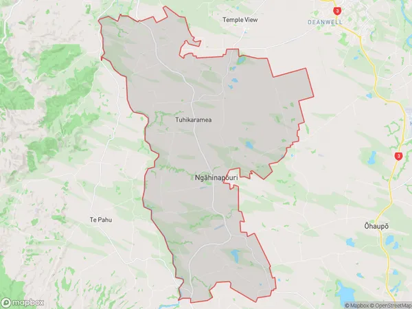
Ngahinapouri Area Map (Polygon)
Name
NgahinapouriAdditional Name
Te Rore, TuhikarameaLocal Authority
Waipa District
Ngahinapouri Suburbs (Sort by Population)
Ngahinapouri also known as Te Rore, Tuhikaramea. Ngahinapouri suburb has around
117.0 square
kilometers.There are more than 2198 people (estimated)
live in Ngahinapouri, Hamilton, Waikato, New Zealand.