Ngahinapouri Area, Ngahinapouri Postcode(3882) & Map in Ngahinapouri
Ngahinapouri Area, Ngahinapouri Postcode(3882) & Map in Ngahinapouri, Waipa District, New Zealand
Ngahinapouri, Waipa District, New Zealand
Ngahinapouri Postcodes
Ngahinapouri Area (estimated)
117.0 square kilometersNgahinapouri Population (estimated)
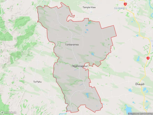
2198 people live in Ngahinapouri, Waikato, NZNgahinapouri Suburb Area Map (Polygon)
Ngahinapouri Introduction
Ngahinapouri is a small town on the banks of the Ohaupo River in Waikato, New Zealand. It is known for its beautiful natural surroundings, including the Ngahinapouri Rapids and the Ngahinapouri Forest Park. The town has a population of around 300 people and is a popular destination for outdoor enthusiasts, with many hiking and cycling trails nearby.Region
Major City
Suburb Name
Ngahinapouri (Maori Name: Ngāhinapōuri)Other Name(s)
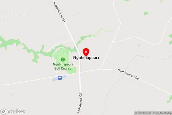
Te Rore, TuhikarameaNgahinapouri Area Map (Street)
Local Authority
Waipa DistrictFull Address
Ngahinapouri, Waipa District, New ZealandAddress Type
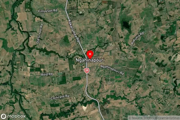
Locality in Town OhaupoNgahinapouri Suburb Map (Satellite)
Country
Main Region in AU
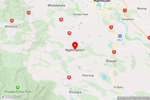
WaikatoNgahinapouri Region Map
Coordinates
-37.8953116,175.2077508 (latitude/longitude)Distances
The distance from Ngahinapouri, Ohaupo, Waipa District to NZ Top 10 Cities