Ohaupo Suburbs & Region, Ohaupo Map & Postcodes in Ohaupo, Waipa, Waikato
Ohaupo Postcodes, Ohaupo ZipCodes, Ohaupo , Ohaupo Waikato, Ohaupo Suburbs, Ohaupo Region, Ohaupo Map, Ohaupo Area
Ohaupo Region (Kaipaki, Mystery Creek, Paterangi Region)
Ohaupo Suburbs
Ohaupo is a city place type in Waipa, Waikato, NZ. It contains 2 suburbs or localities.Ohaupo district
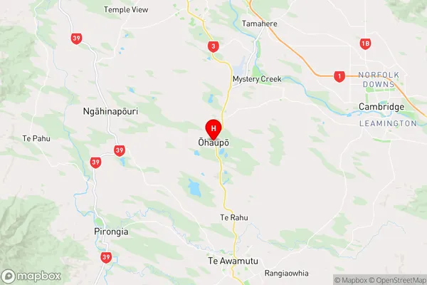
WaipaOhaupo Region Map
Ohaupo Introduction
Ohaupo is a small town in Waikato, New Zealand, located on the banks of the Ohaupo River. It is known for its historic buildings, including the Ohaupo Railway Station, which is listed as a "Category I" historic place by Heritage New Zealand. The town has a population of around 5,000 people and is a popular destination for outdoor activities such as hiking, cycling, and fishing. It is also home to the Ohaupo Zoo, which is known for its collection of exotic and endangered animals.Ohaupo Region
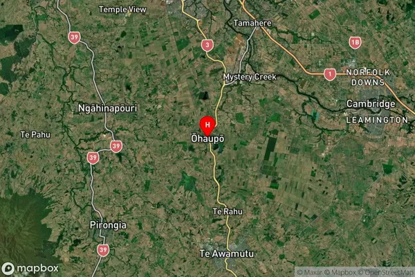
Ohaupo Satellite Map
Full Address
Ohaupo, Waipa, WaikatoOhaupo Coordinates
-37.919078,175.307047 (Latitude / Longitude)Ohaupo Map in NZ
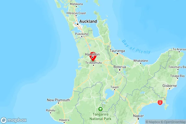
NZ Island
North IslandCountry
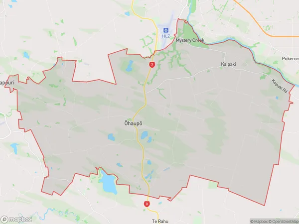
Ohaupo Area Map (Polygon)
Name
OhaupoAdditional Name
Kaipaki, Mystery Creek, PaterangiLocal Authority
Waipa District
Ohaupo Suburbs (Sort by Population)
Ohaupo
Ohaupo - 3206Ngahinapouri
Ngahinapouri - 2198