Pukeatua Suburbs & Region, Pukeatua Map & Postcodes in Pukeatua, Waipa, Waikato
Pukeatua Postcodes, Pukeatua ZipCodes, Pukeatua , Pukeatua Waikato, Pukeatua Suburbs, Pukeatua Region, Pukeatua Map, Pukeatua Area
Pukeatua Region
Pukeatua Suburbs
Pukeatua is a city place type in Waipa, Waikato, NZ. It contains 1 suburbs or localities.Pukeatua district
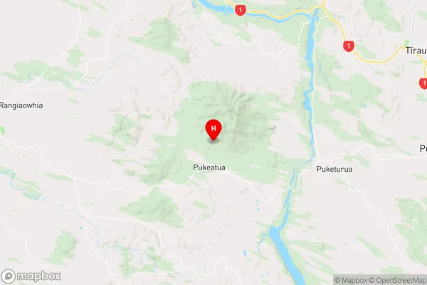
WaipaPukeatua Region Map
Pukeatua Introduction
Pukeatua is a small town in the Waikato region of New Zealand, located on State Highway 1. It is known for its historic stone buildings and scenic surroundings, including the Pukeatua Forest Park. The town has a population of around 500 people and is situated between the cities of Hamilton and Cambridge. Pukeatua is also home to a variety of wildlife, including native birds and animals. The town has a primary school, a post office, a supermarket, and a few cafes and restaurants. The nearby Pukeatua Forest Park is a popular destination for hiking, biking, and picnicking, and the town is also close to the Waikato River and the Hamilton Lake Reserve.Pukeatua Region
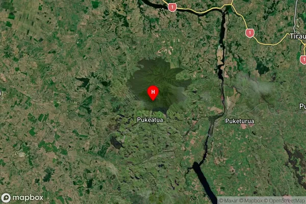
Pukeatua Satellite Map
Full Address
Pukeatua, Waipa, WaikatoPukeatua Coordinates
-38.046598,175.563472 (Latitude / Longitude)Pukeatua Map in NZ
NZ Island
North IslandCountry
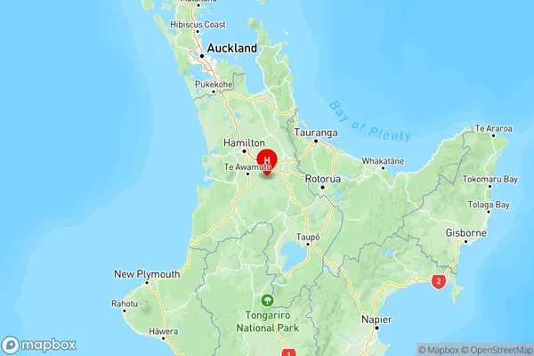
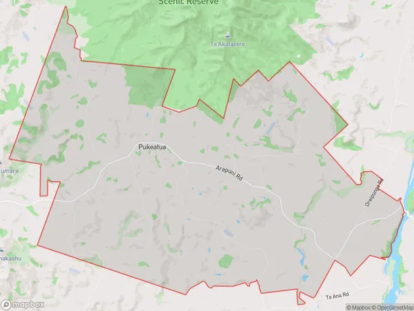
Pukeatua Area Map (Polygon)
Name
PukeatuaAdditional Name
Local Authority
Waipa District
Pukeatua Suburbs (Sort by Population)
Pukeatua
Pukeatua - 276