Te Pahu Suburbs & Region, Te Pahu Map & Postcodes in Te Pahu, Waipa, Waikato
Te Pahu Postcodes, Te Pahu ZipCodes, Te Pahu , Te Pahu Waikato, Te Pahu Suburbs, Te Pahu Region, Te Pahu Map, Te Pahu Area
Te Pahu Region (Harapepe Region)
Te Pahu Suburbs
Te Pahu is a suburb place type in Waipa, Waikato, NZ. It contains 1 suburbs or localities.Te Pahu district
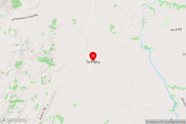
WaipaTe Pahu Region Map
Te Pahu Introduction
Te Pahu is a small town in Waikato, New Zealand, located on State Highway 1. It is situated between Hamilton and Cambridge and has a population of around 1,000 people. The town is known for its historic stone buildings and its association with the New Zealand Wars. The nearby Te Pahu quarry was a major source of stone for the construction of many buildings in the region, including the Waikato Museum and the University of Waikato. The town also has a golf course and a sports complex, and is home to the Te Pahu Marae, a significant Maori meeting house.Te Pahu Region
Te Pahu City
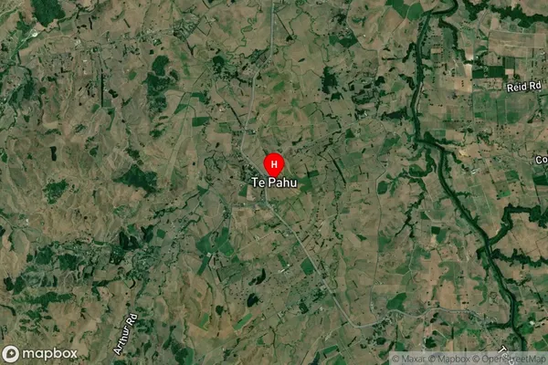
Te Pahu Satellite Map
Full Address
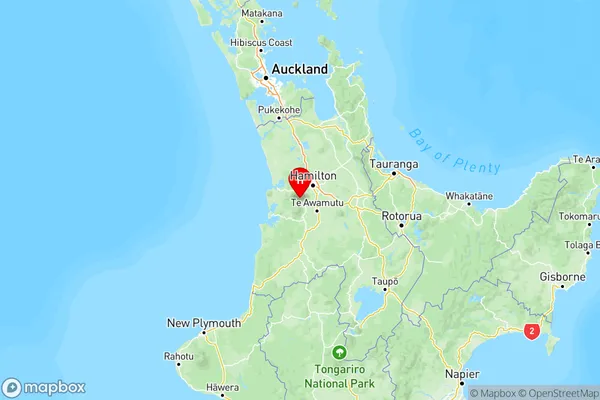
Te Pahu, Waipa, WaikatoTe Pahu Coordinates
-37.916002,175.136061 (Latitude / Longitude)Te Pahu Map in NZ
NZ Island
North IslandCountry
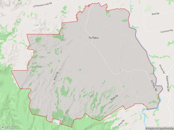
Te Pahu Area Map (Polygon)
Name
Te PahuAdditional Name
HarapepeLocal Authority
Waipa District
Te Pahu Suburbs (Sort by Population)
Te Pahu
Te Pahu - 863