Te Pahu Area, Te Pahu Postcode & Map in Te Pahu
Te Pahu Area, Te Pahu Postcode & Map in Te Pahu, Waipa District, New Zealand
Te Pahu, Waipa District, New Zealand
Te Pahu Area (estimated)
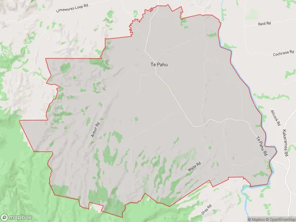
60.3 square kilometersTe Pahu Population (estimated)
863 people live in Te Pahu, Waikato, NZTe Pahu Suburb Area Map (Polygon)
Te Pahu Introduction
Te Pahu is a small town in Waikato, New Zealand, with a population of around 500 people. It is known for its historic stone buildings and scenic surroundings, including the Te Pahu Reserve and the Waikato River. The town is also home to a primary school and a golf course.Region
Major City
Suburb Name
Te PahuOther Name(s)
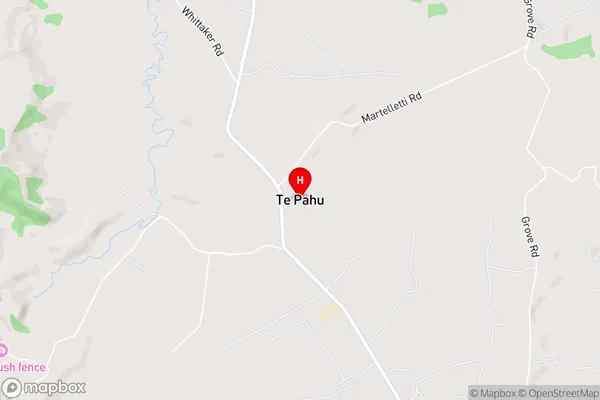
HarapepeTe Pahu Area Map (Street)
Local Authority
Waipa DistrictFull Address
Te Pahu, Waipa District, New ZealandAddress Type
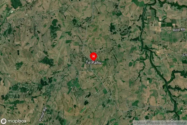
Locality in Major Locality Te PahuTe Pahu Suburb Map (Satellite)
Country
Main Region in AU
WaikatoTe Pahu Region Map

Coordinates
-37.9160016,175.1360615 (latitude/longitude)Distances
The distance from Te Pahu, Te Pahu, Waipa District to NZ Top 10 Cities