Matamata-Piako Suburbs & Region, Matamata-Piako Map & Postcodes in Matamata-Piako, Waikato
Matamata-Piako Postcodes, Matamata-Piako ZipCodes, Matamata-Piako , Matamata-Piako Waikato, Matamata-Piako Suburbs, Matamata-Piako Region, Matamata-Piako Map, Matamata-Piako Area
Matamata-Piako Region
Matamata-Piako Suburbs
Matamata-Piako is a district place type in Waikato, NZ. It contains 15 suburbs or localities.Matamata-Piako district
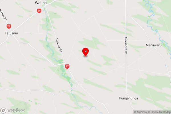
Matamata-PiakoMatamata-Piako Region Map
Matamata-Piako Introduction
Matamata-Piako is a small town located in the Waikato region of New Zealand. It is known for its beautiful green surroundings, including the Matamata Forest and the Piako River. The town has a population of around 10,000 people and is a popular destination for tourists and outdoor enthusiasts. It is also home to a number of historic buildings, including the Matamata Cheese Factory and the Matamata Pottery. The town is surrounded by farmland and has a peaceful and relaxed atmosphere. It is an ideal place to escape the hustle and bustle of city life and enjoy the natural beauty of New Zealand.Matamata-Piako Region
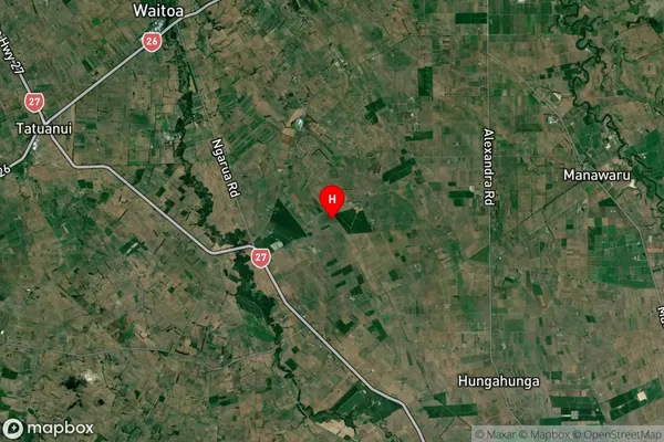
Matamata-Piako Satellite Map
Full Address
Matamata-Piako, WaikatoMatamata-Piako Coordinates
-37.6450708,175.684578 (Latitude / Longitude)Matamata-Piako Map in NZ
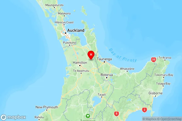
NZ Island
North IslandCountry
Matamata-Piako Suburbs (Sort by Population)
Matamata-Piako Suburbs (Sort in alphabetical)
Gordon
Manawaru
Matamata
Morrinsville
Ngarua
Okauia
Richmond Downs
Tahuna
Te Aroha
Te Poi
Turangaomoana
Waharoa
Waihou
Waitoa
Wardville