Manawaru Suburbs & Region, Manawaru Map & Postcodes in Manawaru, Matamata-Piako, Waikato
Manawaru Postcodes, Manawaru ZipCodes, Manawaru , Manawaru Waikato, Manawaru Suburbs, Manawaru Region, Manawaru Map, Manawaru Area
Manawaru Region (Hungahunga, Shaftesbury, Tamihana Region)
Manawaru Suburbs
Manawaru is a suburb place type in Matamata-Piako, Waikato, NZ. It contains 2 suburbs or localities.Manawaru Postcodes
Manawaru district
Matamata-PiakoManawaru Region Map
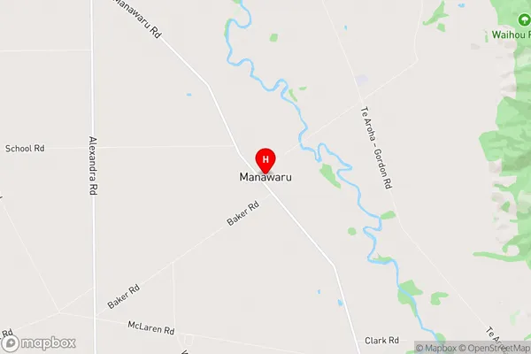
Manawaru Introduction
Waikato is a region in the central North Island of New Zealand. It is well-known for its stunning landscapes, including the rolling hills of the Waikato River Valley, the rugged mountain ranges of the Southern Alps, and the fertile farmland of the Waikato Plains. The region is home to a diverse range of wildlife, including native birds, reptiles, and mammals, as well as a variety of plant species. The region's largest city is Hamilton, which is known for its vibrant arts scene, cultural attractions, and bustling economy. Waikato is also home to a number of popular tourist destinations, including the Hobbiton Movie Set, the Waitomo Caves, and the Raglan Castle.Manawaru Region
Manawaru City
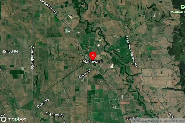
Manawaru Satellite Map
Full Address
Manawaru, Matamata-Piako, WaikatoManawaru Coordinates
-37.633745,175.766719 (Latitude / Longitude)Manawaru Map in NZ
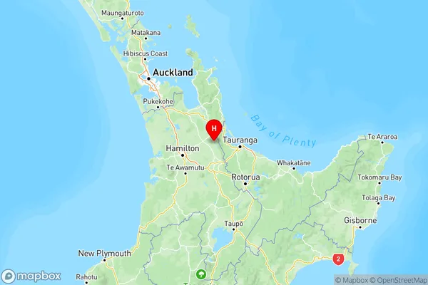
NZ Island
North IslandCountry
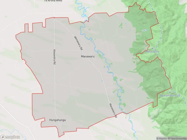
Manawaru Area Map (Polygon)
Name
ManawaruAdditional Name
Hungahunga, Shaftesbury, TamihanaLocal Authority
Matamata-Piako District