Te Aroha Suburbs & Region, Te Aroha Map & Postcodes in Te Aroha, Matamata-Piako, Waikato
Te Aroha Postcodes, Te Aroha ZipCodes, Te Aroha , Te Aroha Waikato, Te Aroha Suburbs, Te Aroha Region, Te Aroha Map, Te Aroha Area
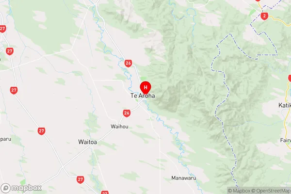
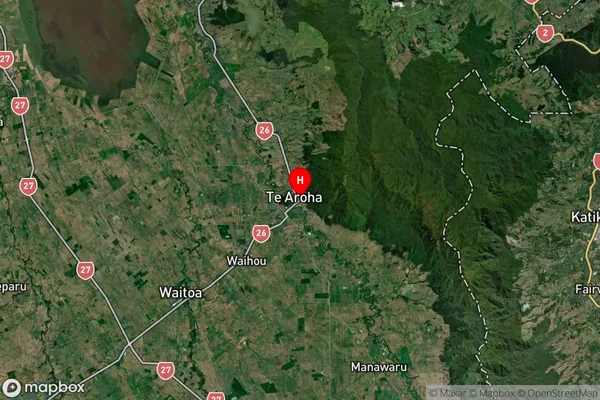
Te Aroha Region
Te Aroha Suburbs
Te Aroha is a city place type in Matamata-Piako, Waikato, NZ. It contains 0 suburbs or localities.Te Aroha district
Matamata-PiakoTe Aroha Region Map
Te Aroha Introduction
Te Aroha is a small town in Waikato, New Zealand, with a population of around 3,500 people. It is known for its beautiful natural surroundings, including the Te Aroha Mountain Range and the Te Aroha Lagoon. The town is also home to a number of historic buildings, including the Te Aroha Masonic Lodge and the Te Aroha Public Library. The town is a popular destination for tourists and outdoor enthusiasts, with a number of walking and hiking trails, as well as fishing and hunting opportunities.Te Aroha Region
Te Aroha Satellite Map
Full Address
Te Aroha, Matamata-Piako, WaikatoTe Aroha Coordinates
-37.542904,175.712675 (Latitude / Longitude)Te Aroha Map in NZ

NZ Island
North IslandCountry