Te Aroha West Area, Te Aroha West Postcode(3320) & Map in Te Aroha West
Te Aroha West Area, Te Aroha West Postcode(3320) & Map in Te Aroha West, Matamata-Piako District, New Zealand
Te Aroha West, Matamata-Piako District, New Zealand
Te Aroha West Postcodes
Te Aroha West Area (estimated)
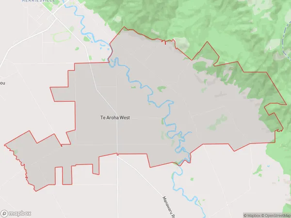
48.8 square kilometersTe Aroha West Population (estimated)
319 people live in Te Aroha West, Waikato, NZTe Aroha West Suburb Area Map (Polygon)
Te Aroha West Introduction
Te Aroha West is a small town in the Waikato region of New Zealand, located about 30 kilometers southeast of Hamilton. It is known for its beautiful natural surroundings, including the Te Aroha Mountain Range and the Te Aroha Lagoon. The town has a population of around 1,000 people and is a popular destination for outdoor activities such as hiking, cycling, and fishing. It also has a historic railway station and a community center.Region
Major City
Suburb Name
Te Aroha WestOther Name(s)
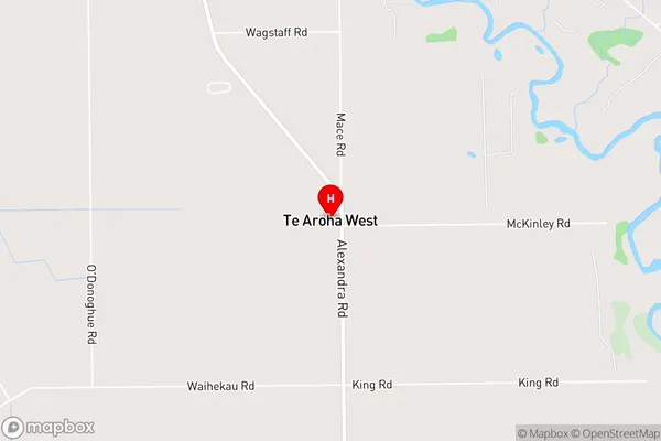
Waiorongomai, WairakauTe Aroha West Area Map (Street)
Local Authority
Matamata-Piako DistrictFull Address
Te Aroha West, Matamata-Piako District, New ZealandAddress Type
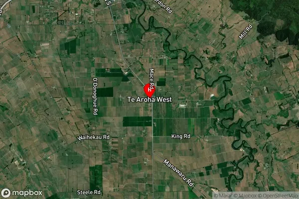
Locality in Town Te ArohaTe Aroha West Suburb Map (Satellite)
Country
Main Region in AU
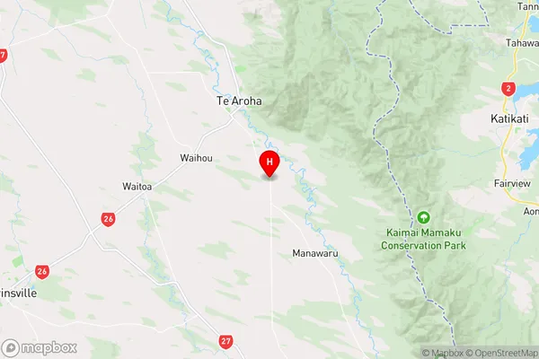
WaikatoTe Aroha West Region Map
Coordinates
-37.5890707,175.731833 (latitude/longitude)Distances
The distance from Te Aroha West, Te Aroha, Matamata-Piako District to NZ Top 10 Cities