Otway Area, Otway Postcode(3400) & Map in Otway
Otway Area, Otway Postcode(3400) & Map in Otway, Matamata-Piako District, New Zealand
Otway, Matamata-Piako District, New Zealand
Otway Postcodes
Otway Area (estimated)
79.9 square kilometersOtway Population (estimated)
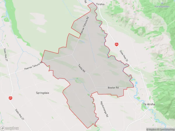
381 people live in Otway, Waikato, NZOtway Suburb Area Map (Polygon)
Otway Introduction
Otway is a small town in the Waikato region of New Zealand, located on the banks of the Otago River. It is known for its scenic beauty, with lush green forests and waterfalls nearby. The town has a population of around 2,000 people and is a popular destination for outdoor activities such as hiking, fishing, and kayaking. It is also home to the Otway Fly-Fishing Museum, which showcases the region's rich fly-fishing history and culture.Region
Major City
Suburb Name
OtwayOther Name(s)
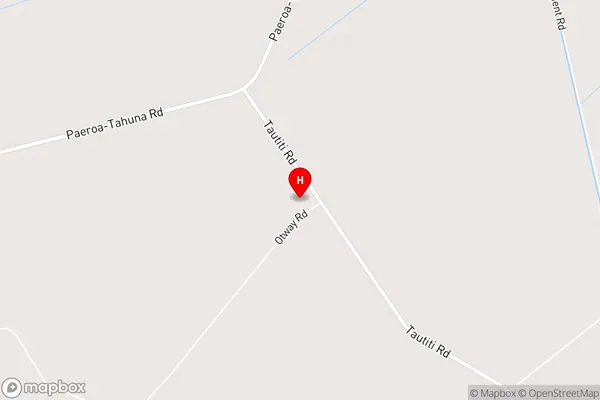
Awaiti North, Elstow, TiahaiOtway Area Map (Street)
Local Authority
Matamata-Piako DistrictFull Address
Otway, Matamata-Piako District, New ZealandAddress Type
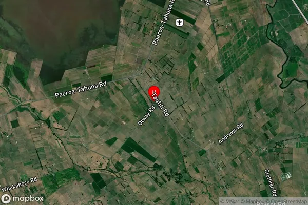
Locality in Town Te ArohaOtway Suburb Map (Satellite)
Country
Main Region in AU
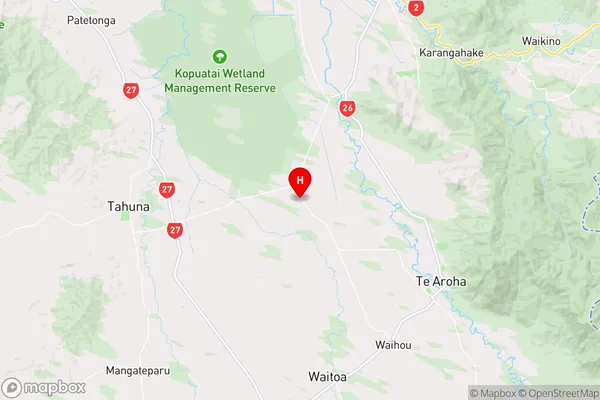
WaikatoOtway Region Map
Coordinates
-37.497077,175.6117773 (latitude/longitude)Distances
The distance from Otway, Te Aroha, Matamata-Piako District to NZ Top 10 Cities