Te Aroha Area, Te Aroha Postcode(3320) & Map in Te Aroha
Te Aroha Area, Te Aroha Postcode(3320) & Map in Te Aroha, Matamata-Piako District, New Zealand
Te Aroha, Matamata-Piako District, New Zealand
Te Aroha Area (estimated)
102.6 square kilometersTe Aroha Population (estimated)
5319 people live in Te Aroha, Waikato, NZTe Aroha Suburb Area Map (Polygon)
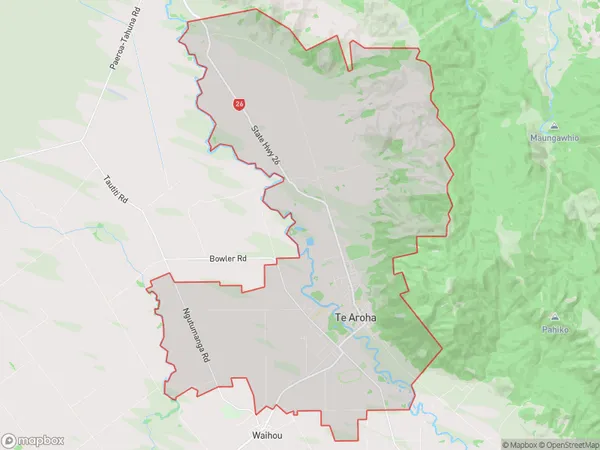
Te Aroha Introduction
Te Aroha is a small town in Waikato, New Zealand, with a population of around 3,000 people. It is known for its beautiful natural surroundings, including the Te Aroha Mountain Range and the Te Aroha Lagoon. The town has a rich history and is home to the Te Aroha Marae, a significant cultural landmark for the local Māori people. It is also a popular destination for outdoor enthusiasts, with many walking and hiking tracks in the area.Region
Major City
Suburb Name
Te ArohaOther Name(s)
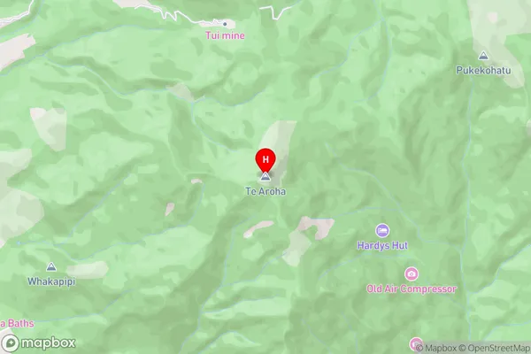
Mangaiti, TiahaiTe Aroha Area Map (Street)
Local Authority
Matamata-Piako DistrictFull Address
Te Aroha, Matamata-Piako District, New ZealandAddress Type
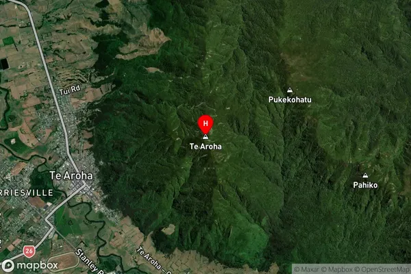
Suburb in Town Te ArohaTe Aroha Suburb Map (Satellite)
Country
Main Region in AU
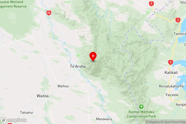
WaikatoTe Aroha Region Map
Coordinates
-37.5337461,175.7423822 (latitude/longitude)Distances
The distance from Te Aroha, Te Aroha, Matamata-Piako District to NZ Top 10 Cities