Manawaru Area, Manawaru Postcode(3046) & Map in Manawaru
Manawaru Area, Manawaru Postcode(3046) & Map in Manawaru, Matamata-Piako District, New Zealand
Manawaru, Matamata-Piako District, New Zealand
Manawaru Postcodes
Manawaru Area (estimated)
125.1 square kilometersManawaru Population (estimated)
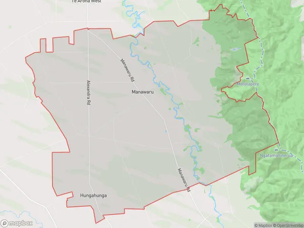
791 people live in Manawaru, Bay of Plenty, NZManawaru Suburb Area Map (Polygon)
Manawaru Introduction
Manawaru is a small town in the Bay of Plenty region of New Zealand. It is known for its beautiful beaches, lush forests, and stunning natural scenery. The town has a population of around 1,000 people and is located on the shores of Lake Rotorua, a popular destination for tourists. The area is rich in Maori culture and history, and there are several archaeological sites and museums to explore.Region
Major City
Suburb Name
ManawaruOther Name(s)
Hungahunga, Shaftesbury, TamihanaManawaru Area Map (Street)
Local Authority
Matamata-Piako DistrictFull Address
Manawaru, Matamata-Piako District, New ZealandAddress Type
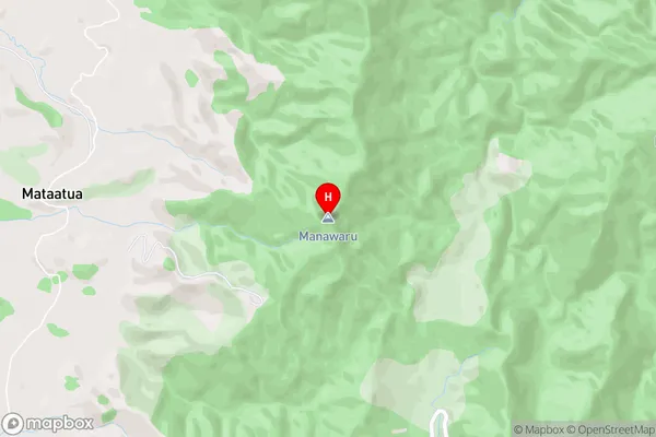
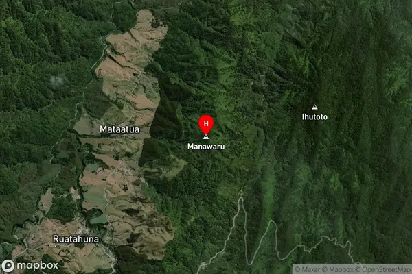
Locality in Major Locality ManawaruManawaru Suburb Map (Satellite)
Country
Main Region in AU
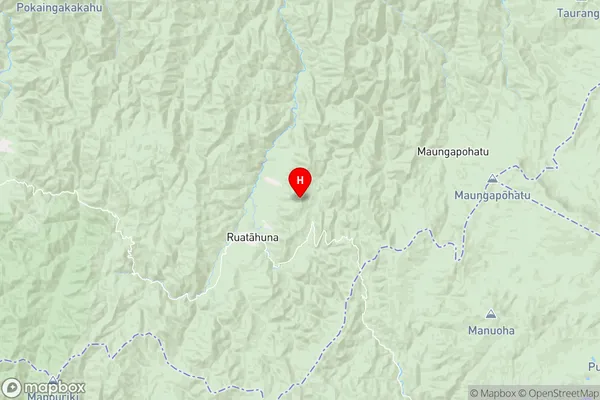
Bay of PlentyManawaru Region Map
Coordinates
-38.5951356,176.9902923 (latitude/longitude)Distances
The distance from Manawaru, Manawaru, Matamata-Piako District to NZ Top 10 Cities