Waitoa Suburbs & Region, Waitoa Map & Postcodes in Waitoa, Matamata-Piako, Waikato
Waitoa Postcodes, Waitoa ZipCodes, Waitoa , Waitoa Waikato, Waitoa Suburbs, Waitoa Region, Waitoa Map, Waitoa Area
Waitoa Region
Waitoa Suburbs
Waitoa is a suburb place type in Matamata-Piako, Waikato, NZ. It contains 2 suburbs or localities.Waitoa district
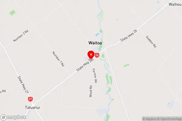
Matamata-PiakoWaitoa Region Map
Waitoa Introduction
Waitoa is a small town in Waikato, New Zealand. It is located on State Highway 1, approximately 30 kilometers south of Hamilton. The town has a population of around 1,200 people and is known for its beautiful natural surroundings, including the Waitoa River and the Waitoa Falls. The town has a primary school, a post office, a supermarket, and a variety of other services. The area is popular with outdoor enthusiasts, with many walking and hiking trails nearby. Waitoa also hosts the annual Waitoa A&P Show, which is a popular event in the region.Waitoa Region
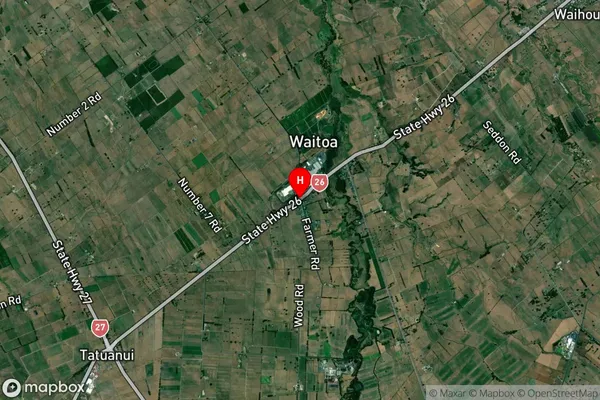
Waitoa Satellite Map
Full Address
Waitoa, Matamata-Piako, WaikatoWaitoa Coordinates
-37.6012268,175.6283685 (Latitude / Longitude)Waitoa Map in NZ
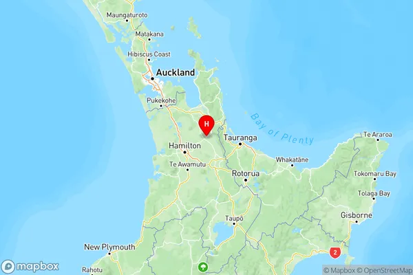
NZ Island
North IslandCountry
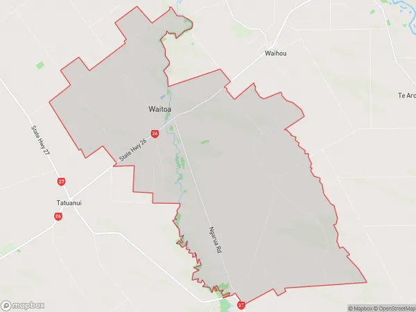
Waitoa Area Map (Polygon)
Name
WaitoaAdditional Name
Local Authority
Matamata-Piako District