Waitoa Area, Waitoa Postcode(3310) & Map in Waitoa
Waitoa Area, Waitoa Postcode(3310) & Map in Waitoa, Matamata-Piako District, New Zealand
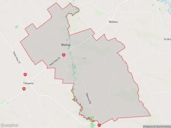
Waitoa, Matamata-Piako District, New Zealand
Waitoa Area (estimated)
62.2 square kilometersWaitoa Population (estimated)
706 people live in Waitoa, Waikato, NZWaitoa Suburb Area Map (Polygon)
Waitoa Introduction
Waitoa, Waitoa, Waikato, New Zealand, is a small rural town located on the banks of the Waikato River. It is known for its beautiful natural surroundings, including the Waitoa Falls and the Waikato River Walk. The town has a population of around 500 people and is a popular destination for outdoor enthusiasts and tourists.Region
0Suburb Name
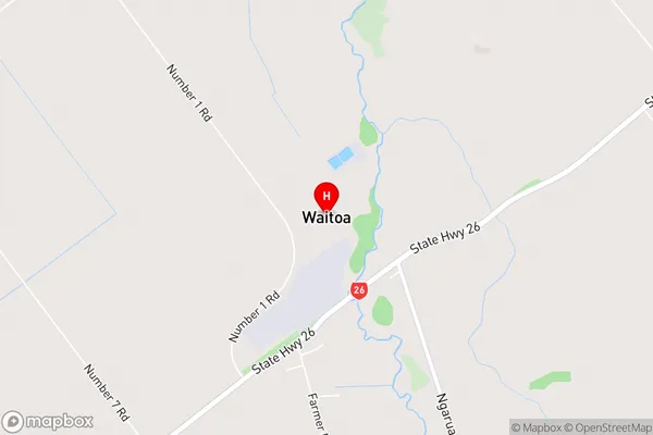
WaitoaWaitoa Area Map (Street)
Local Authority
Matamata-Piako DistrictFull Address
Waitoa, Matamata-Piako District, New ZealandAddress Type
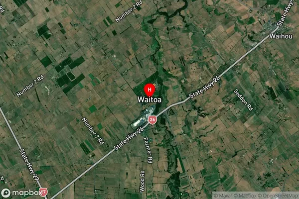
Suburb in Major Locality WaitoaWaitoa Suburb Map (Satellite)
Country
Main Region in AU
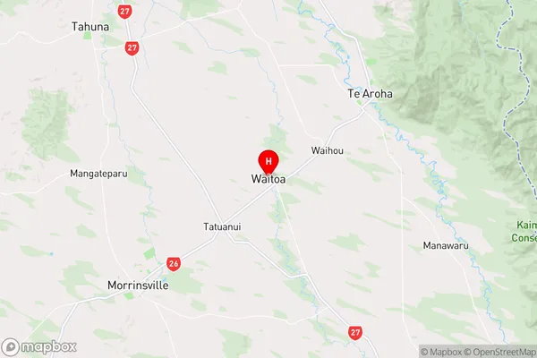
WaikatoWaitoa Region Map
Coordinates
-37.5932965,175.6307073 (latitude/longitude)Distances
The distance from Waitoa, Waitoa, Matamata-Piako District to NZ Top 10 Cities