Matamata Suburbs & Region, Matamata Map & Postcodes in Matamata, Matamata-Piako, Waikato
Matamata Postcodes, Matamata ZipCodes, Matamata , Matamata Waikato, Matamata Suburbs, Matamata Region, Matamata Map, Matamata Area
Matamata Region (Hinuera, Matai, Peria, Taihoa, Tamihana Region)
Matamata Suburbs
Matamata is a city place type in Matamata-Piako, Waikato, NZ. It contains 4 suburbs or localities.Matamata district
Matamata-PiakoMatamata Introduction
Matamata is a small town in the Waikato region of New Zealand, known for its famous green dragon statue and as the location of the Hobbiton movie set. It is a popular tourist destination and a hub for farming and horticulture in the region. The town has a rich history, with evidence of early Māori settlement dating back to the 13th century. It is also home to a large number of historic buildings, including the Matamata Hotel, which was built in 1887.Matamata Region
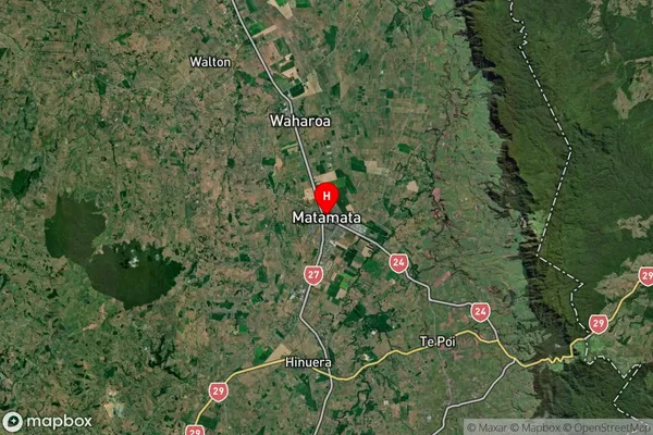
Matamata Satellite Map

Full Address
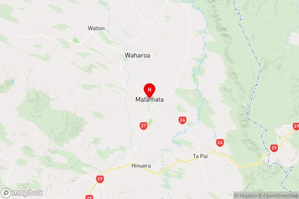
Matamata, Matamata-Piako, WaikatoMatamata Coordinates
-37.809563,175.773276 (Latitude / Longitude)Matamata Map in NZ

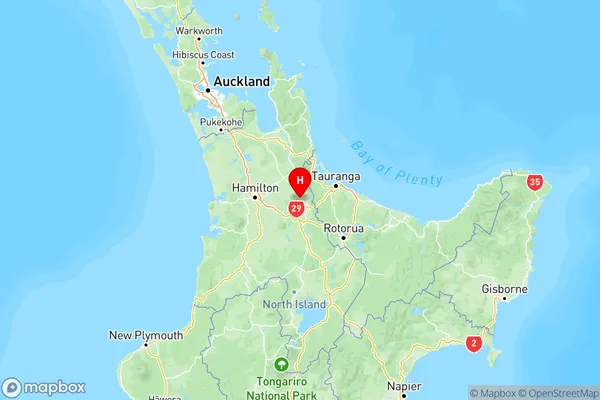
NZ Island
North IslandCountry
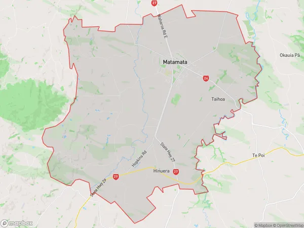
Matamata Area Map (Polygon)

Name
MatamataAdditional Name
Hinuera, Matai, Peria, Taihoa, TamihanaLocal Authority
Matamata-Piako District
Matamata Suburbs (Sort by Population)
Matamata
Matamata - 10759Te Poi
Te Poi - 817Okauia
Okauia - 530Turangaomoana
Turangaomoana - 195
