Te Poi Suburbs & Region, Te Poi Map & Postcodes in Te Poi, Matamata-Piako, Waikato
Te Poi Postcodes, Te Poi ZipCodes, Te Poi , Te Poi Waikato, Te Poi Suburbs, Te Poi Region, Te Poi Map, Te Poi Area
Te Poi Region (Selwyn Region)
Te Poi Suburbs
Te Poi is a suburb place type in Matamata-Piako, Waikato, NZ. It contains 0 suburbs or localities.Te Poi district
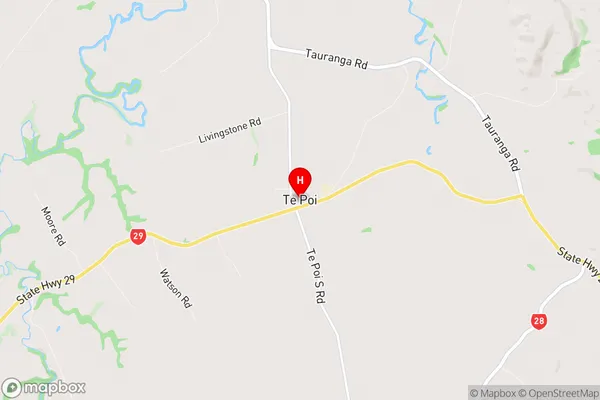
Matamata-PiakoTe Poi Region Map
Te Poi Introduction
Te Poi is a small town in Waikato, New Zealand, located on State Highway 1. It is known for its historic stone buildings and the nearby Te Poi o Te Hau forest. The town has a population of around 1,000 people and is surrounded by farmland and picturesque countryside. Te Poi is also home to a golf course and a popular swimming spot on the Waikato River.Te Poi Region
Te Poi City
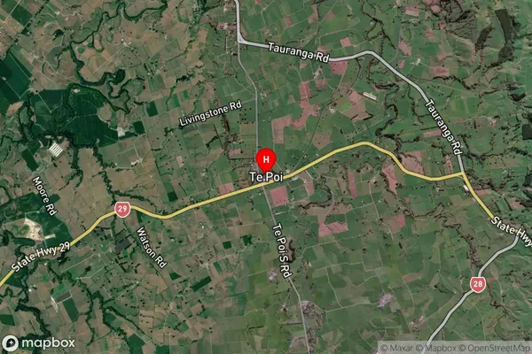
Te Poi Satellite Map
Full Address
Te Poi, Matamata-Piako, WaikatoTe Poi Coordinates
-37.871437,175.843326 (Latitude / Longitude)Te Poi Map in NZ
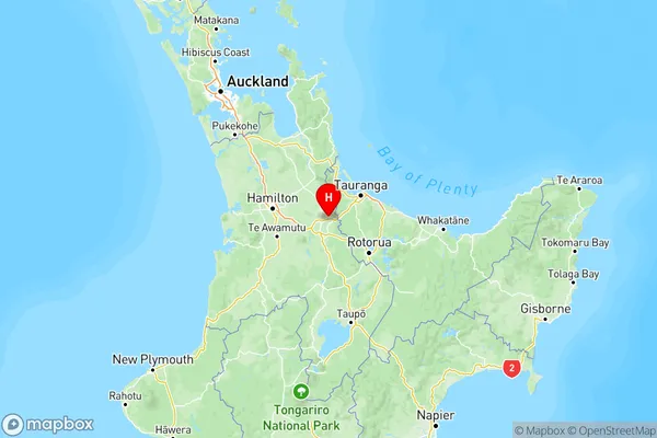
NZ Island
North IslandCountry
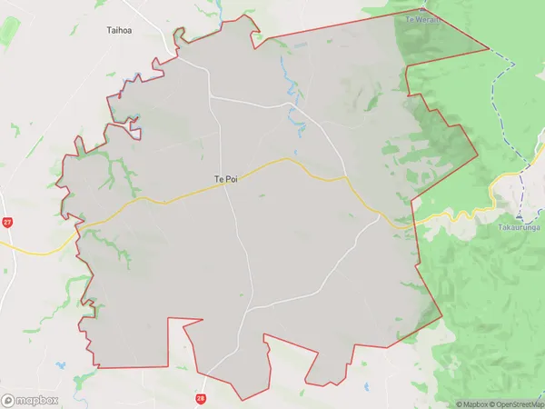
Te Poi Area Map (Polygon)
Name
Te PoiAdditional Name
SelwynLocal Authority
Matamata-Piako District
Te Poi Suburbs (Sort by Population)
Te Poi also known as Selwyn. Te Poi suburb has around
104.4 square
kilometers.There are more than 817 people (estimated)
live in Te Poi, Matamata, Waikato, New Zealand.