Okauia Suburbs & Region, Okauia Map & Postcodes in Okauia, Matamata-Piako, Waikato
Okauia Postcodes, Okauia ZipCodes, Okauia , Okauia Waikato, Okauia Suburbs, Okauia Region, Okauia Map, Okauia Area
Okauia Region (Okauia Pa, Te Ohaki Pa Region)
Okauia Suburbs
Okauia is a suburb place type in Matamata-Piako, Waikato, NZ. It contains 0 suburbs or localities.Okauia Postcodes
Okauia district
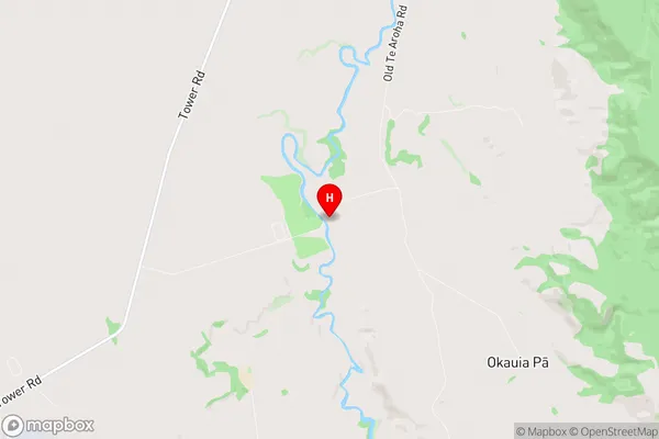
Matamata-PiakoOkauia Region Map
Okauia Introduction
Waikato is a region in the North Island of New Zealand, and Okauia is a small town located within the Waikato region. It is situated on the banks of the Okauia River, approximately 35 kilometers south of Hamilton City. The town has a population of around 300 people and is known for its scenic surroundings, including the Okauia Forest Park and the Okauia Hills. The town has a primary school, a post office, a convenience store, and a community hall. The surrounding area is popular for outdoor activities such as hiking, cycling, and fishing, and the town is also home to a number of farms and vineyards.Okauia Region
Okauia City
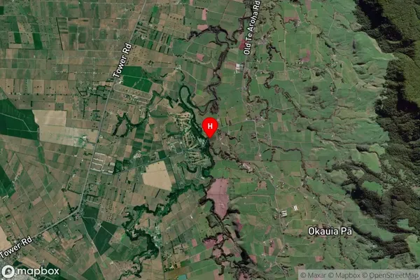
Okauia Satellite Map
Full Address
Okauia, Matamata-Piako, WaikatoOkauia Coordinates
-37.787301,175.840173 (Latitude / Longitude)Okauia Map in NZ
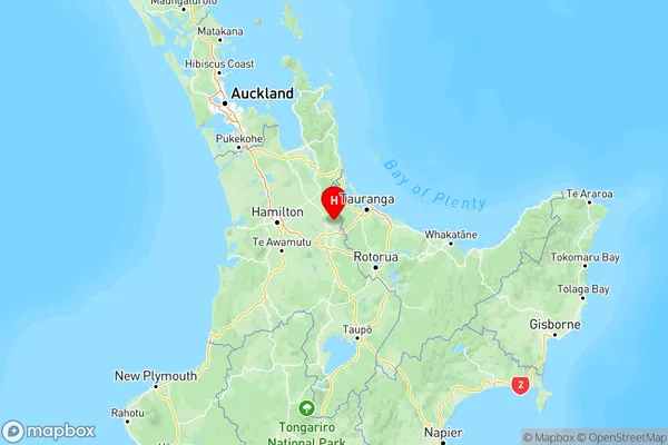
NZ Island
North IslandCountry
Okauia Area Map (Polygon)
Not available for nowName
OkauiaAdditional Name
Okauia Pa, Te Ohaki PaLocal Authority
Matamata-Piako District
Okauia Suburbs (Sort by Population)
Okauia also known as Okauia Pa, Te Ohaki Pa. Okauia suburb has around
-1.2 square
kilometers.There are more than 530 people (estimated)
live in Okauia, Matamata, Waikato, New Zealand.