Waihou Suburbs & Region, Waihou Map & Postcodes in Waihou, Matamata-Piako, Waikato
Waihou Postcodes, Waihou ZipCodes, Waihou , Waihou Waikato, Waihou Suburbs, Waihou Region, Waihou Map, Waihou Area
Waihou Region
Waihou Suburbs
Waihou is a suburb place type in Matamata-Piako, Waikato, NZ. It contains 0 suburbs or localities.Waihou district
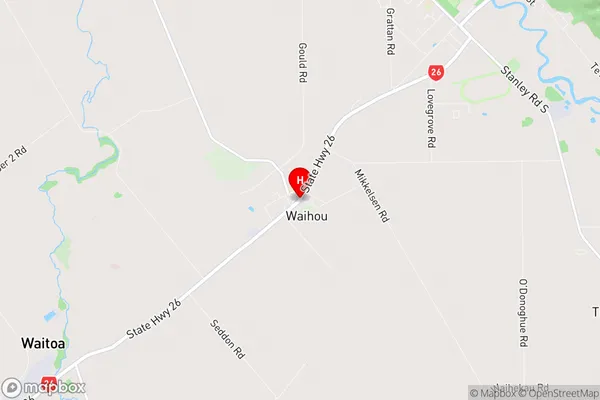
Matamata-PiakoWaihou Region Map

Waihou Introduction
Waikato is a region in the central North Island of New Zealand. It is home to the city of Hamilton, which is the country's largest city. The region is known for its fertile farmland, scenic landscapes, and vibrant culture. Waikato has a rich history, with many important Maori settlements and battle sites. The region is also home to a number of popular tourist attractions, including the Waikato Museum, Hamilton Gardens, and the Hobbiton Movie Set.Waihou Region
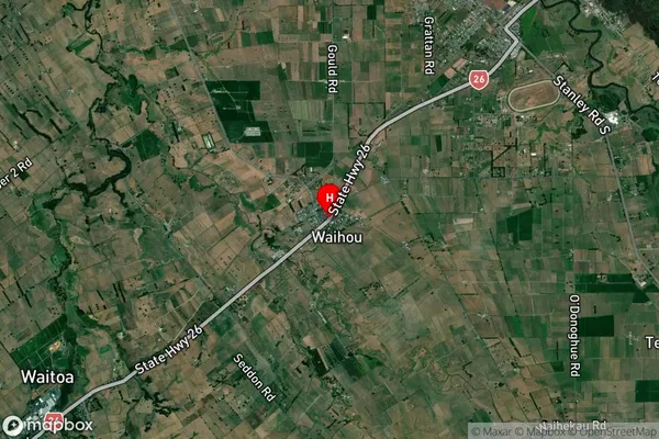
Waihou Satellite Map

Full Address
Waihou, Matamata-Piako, WaikatoWaihou Coordinates
-37.5738025,175.6748006 (Latitude / Longitude)Waihou Map in NZ

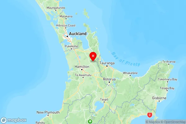
NZ Island
North IslandCountry
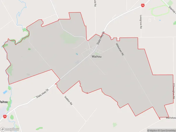
Waihou Area Map (Polygon)

Name
WaihouAdditional Name
Local Authority
Matamata-Piako District
Waihou Suburbs (Sort by Population)
Waihou suburb has around
19.9 square
kilometers.There are more than 534 people (estimated)
live in Waihou, , Waikato, New Zealand.