Waharoa Suburbs & Region, Waharoa Map & Postcodes in Waharoa, Matamata-Piako, Waikato

Waharoa Postcodes, Waharoa ZipCodes, Waharoa , Waharoa Waikato, Waharoa Suburbs, Waharoa Region, Waharoa Map, Waharoa Area

Waharoa Region (Tamihana Region)

  • Waharoa Suburbs

    Waharoa is a suburb place type in Matamata-Piako, Waikato, NZ. It contains 1 suburbs or localities.
  • Waharoa Postcodes

    340134413474
  • Waharoa district

    Matamata-Piako
  • Waharoa Region Map

    Waharoa, Waikato Region Map
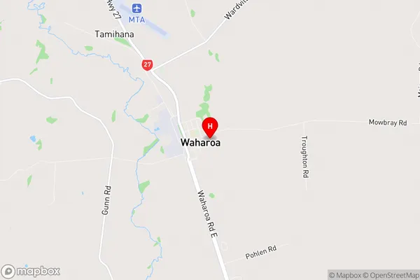
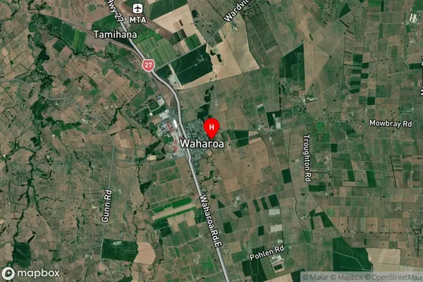
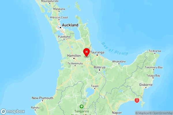
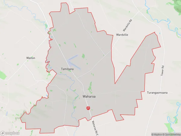
  • Waharoa Introduction

    Waikato is a region in the central North Island of New Zealand. It is known for its lush green landscapes, rolling hills, and picturesque towns. One of the towns in Waikato is Waharoa, which is located on the banks of the Waikato River. Waharoa is a small town with a population of around 1,000 people. It is known for its historic buildings, including the Waharoa Hotel, which was built in 1887. The town also has a beautiful beach, which is a popular spot for swimming, fishing, and picnicking. Waharoa is surrounded by farmland and has a rural atmosphere. It is a popular destination for tourists who are looking for a peaceful and relaxing getaway. The town is also home to a number of cultural attractions, including the Waharoa Art Gallery and the Waharoa Museum.
  • Waharoa Region

  • Waharoa City

  • Waharoa Satellite Map

    Waharoa, Waikato Satellite Map
  • Full Address

    Waharoa, Matamata-Piako, Waikato
  • Waharoa Coordinates

    -37.760841,175.759007 (Latitude / Longitude)
  • Waharoa Map in NZ

    Waharoa, Waikato Region Map
  • NZ Island

    North Island
  • Waharoa Area Map (Polygon)

    Waharoa, Waikato Polygon Area Map
  • Name

    Waharoa
  • Additional Name

    Tamihana
  • Local Authority

    Matamata-Piako District

Waharoa Suburbs (Sort by Population)

Waharoa Suburbs (Sort in alphabetical)