Wardville Area, Wardville Postcode(3474) & Map in Wardville
Wardville Area, Wardville Postcode(3474) & Map in Wardville, Matamata-Piako District, New Zealand
Wardville, Matamata-Piako District, New Zealand
Wardville Postcodes
Wardville Area (estimated)
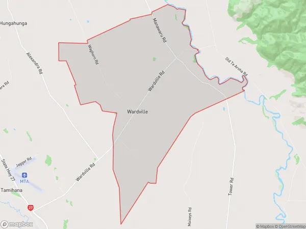
27.8 square kilometersWardville Population (estimated)
217 people live in Wardville, Waikato, NZWardville Suburb Area Map (Polygon)
Wardville Introduction
Wardville is a small rural town in the Waikato region of New Zealand. It is located on State Highway 1, approximately 35 km south of Hamilton. The town has a population of around 1,200 people and is known for its historic buildings and scenic surroundings. The Wardville railway station was opened in 1884 and closed in 1976. The town also has a primary school, a post office, and a convenience store.Region
Major City
Suburb Name
WardvilleOther Name(s)
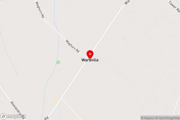
TamihanaWardville Area Map (Street)
Local Authority
Matamata-Piako DistrictFull Address
Wardville, Matamata-Piako District, New ZealandAddress Type
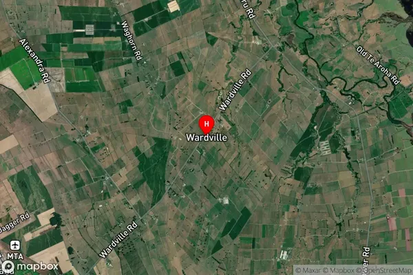
Locality in Town WaharoaWardville Suburb Map (Satellite)
Country
Main Region in AU
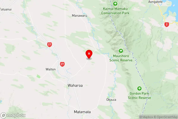
WaikatoWardville Region Map
Coordinates
-37.714041,175.7887816 (latitude/longitude)Distances
The distance from Wardville, Waharoa, Matamata-Piako District to NZ Top 10 Cities