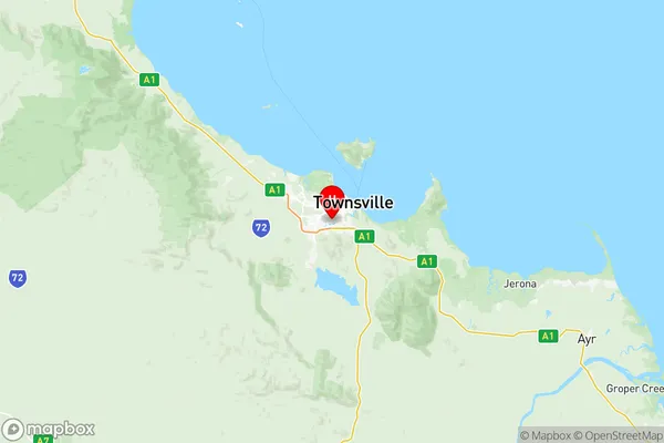
Townsville Suburbs & Region, Townsville Map & Postcodes
Townsville Suburbs & Region, Townsville Map & Postcodes in Townsville, QLD, AU
Townsville Region
Region Name
Townsville (QLD, AU)Townsville Area
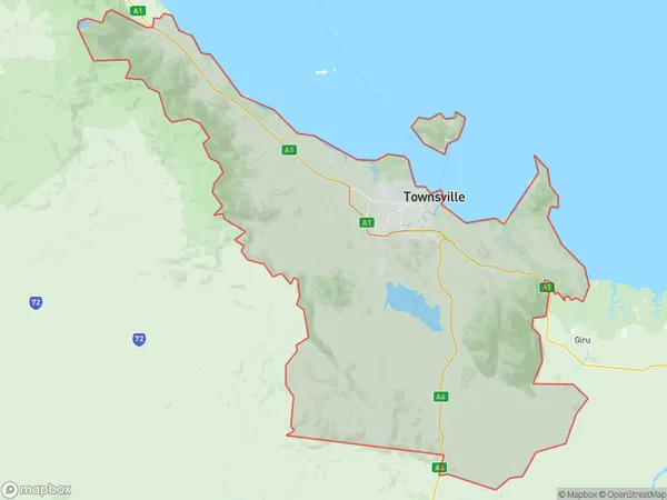
3826 square kilometers (3,826 ㎢)Townsville Introduction
Townsville is a city in Queensland, Australia. It is the administrative center of the Townsville Region and is located on the eastern coast of Australia, about 1,100 kilometers north of Brisbane. The city has a population of around 200,000 people and is known for its tropical climate, beautiful beaches, and vibrant cultural scene. It is home to several universities, including James Cook University and the University of Queensland, and is a major hub for tourism and agriculture. The city is also a major military base, with the Royal Australian Air Force Base Townsville being one of the largest in the country.Australia State
City or Big Region
District or Regional Area
Townsville Region Map

Townsville Suburbs
Aitkenvale
Annandale
Belgian Gardens Pallarenda
Bohle Plains
Condon Rasmussen
Cranbrook
Deeragun
Garbutt West End
Gulliver Currajong Vincent
Hermit Park Rosslea
Hyde Park Pimlico
Kirwan East
Kirwan West
Magnetic Island
Mount Louisa
Mundingburra
Northern Beaches
Oonoonba
South Townsville Railway Estate
Townsville South
Townsville City North Ward
Wulguru Roseneath
Burdell Mount Low
Deeragun Jensen
Townsville full address
Townsville, Queensland, QLD, Australia, SaCode: 31802Country
Townsville, Queensland, QLD, Australia, SaCode: 31802
Townsville Suburbs & Region, Townsville Map & Postcodes has 28 areas or regions above, and there are 0 Townsville suburbs below. The sa3code for the Townsville region is 31802. Its latitude and longitude coordinates are -19.3016,146.772.
