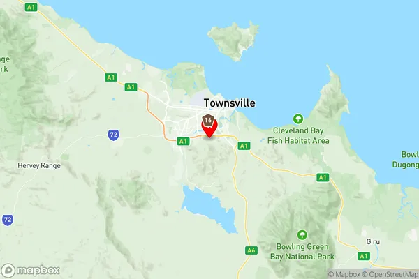
Annandale Suburbs & Region, Annandale Map & Postcodes
Annandale Suburbs & Region, Annandale Map & Postcodes in Annandale, Townsville, QLD, AU
Annandale Region
Region Name
Annandale (QLD, AU)Annandale Area
18.84 square kilometers (18.84 ㎢)Postal Codes
4813, and 4814 (In total, there are 2 postcodes in Annandale.)Annandale Introduction
Annandale is a suburb in the City of Townsville, Queensland, Australia. It is located 8 kilometers northwest of the Townsville central business district. Annandale is a popular residential area due to its convenient location, affordable housing, and access to amenities. The suburb has a variety of shops, restaurants, and parks, including the Annandale Shopping Centre and Queens Park. Annandale is also home to several schools, including Annandale State School and St Joseph's College. The suburb is well-connected to other parts of Townsville, with the Bruce Highway and the Townsville Ring Road providing easy access to the city and surrounding areas.Australia State
City or Big Region
Greater Capital City
Rest of Qld (3RQLD)District or Regional Area
Suburb Name
Annandale Region Map

Annandale Postcodes / Zip Codes
Annandale Suburbs
Annandale full address
Annandale, Townsville, Queensland, QLD, Australia, SaCode: 318021468Country
Annandale, Townsville, Queensland, QLD, Australia, SaCode: 318021468
Annandale Suburbs & Region, Annandale Map & Postcodes has 0 areas or regions above, and there are 3 Annandale suburbs below. The sa2code for the Annandale region is 318021468. Its latitude and longitude coordinates are -19.3248,146.785. Annandale area belongs to Australia's greater capital city Rest of Qld.
Annandale Suburbs & Localities
1. Lavarack Barracks
2. Annandale
3. Murray
