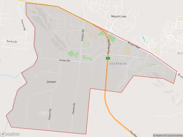
Deeragun Jensen Suburbs & Region, Deeragun Jensen Map & Postcodes
Deeragun Jensen Suburbs & Region, Deeragun Jensen Map & Postcodes in Deeragun Jensen, Townsville, QLD, AU
Deeragun Jensen Region
Region Name
Deeragun Jensen (QLD, AU)Deeragun Jensen Area
22.02 square kilometers (22.02 ㎢)Deeragun Jensen Introduction
Deeragun Jensen is a locality in the City of Townsville, Queensland, Australia. It is located in the northern suburbs of the city and is part of the North Ward. The locality is named after the Jensen family, who were early settlers in the area. Deeragun Jensen has a population of around 3,000 people and is home to a number of parks and recreational facilities, including a cricket club, a golf course, and a swimming pool. The area is also known for its agricultural industry, with a number of farms and plantations located in the surrounding area.Australia State
City or Big Region
Greater Capital City
Rest of Qld (3RQLD)District or Regional Area
Suburb Name
Deeragun Jensen Suburbs
Deeragun Jensen full address
Deeragun Jensen, Townsville, Queensland, QLD, Australia, SaCode: 318021583Country
Deeragun Jensen, Townsville, Queensland, QLD, Australia, SaCode: 318021583
Deeragun Jensen Suburbs & Region, Deeragun Jensen Map & Postcodes has 0 areas or regions above, and there are 0 Deeragun Jensen suburbs below. The sa2code for the Deeragun Jensen region is 318021583. Deeragun Jensen area belongs to Australia's greater capital city Rest of Qld.
