Douglas Suburbs & Region, Douglas Map & Postcodes
Douglas Suburbs & Region, Douglas Map & Postcodes in Douglas, Townsville, QLD, AU
Douglas Region
Region Name
Douglas (QLD, AU)Douglas Area
78.96 square kilometers (78.96 ㎢)Postal Codes
4811, and 4814 (In total, there are 2 postcodes in Douglas.)Douglas Introduction
Douglas is a locality in the City of Townsville, Queensland, Australia. It is located in the northern suburbs of the city and is part of the North Queensland region. The population of Douglas at the 2011 Census was 11,220 people. The locality has a number of parks and recreational facilities, including a golf course, swimming pools, and a skate park. Douglas is also home to a number of schools, including Douglas State High School and St. Joseph's Catholic College. The town is named after Sir Douglas Nicholls, who was a politician and judge in Queensland in the late 19th century.Australia State
City or Big Region
Greater Capital City
Rest of Qld (3RQLD)District or Regional Area
Suburb Name
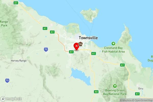
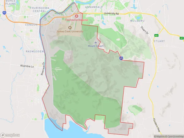
Douglas Region Map

Douglas Postcodes / Zip Codes
Douglas Suburbs
Douglas full address
Douglas, Townsville, Queensland, QLD, Australia, SaCode: 318021474Country
Douglas, Townsville, Queensland, QLD, Australia, SaCode: 318021474
Douglas Suburbs & Region, Douglas Map & Postcodes has 0 areas or regions above, and there are 3 Douglas suburbs below. The sa2code for the Douglas region is 318021474. Its latitude and longitude coordinates are -19.324,146.761. Douglas area belongs to Australia's greater capital city Rest of Qld.
Douglas Suburbs & Localities
1. James Cook University
2. Mount Stuart
3. Douglas
