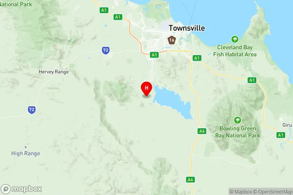
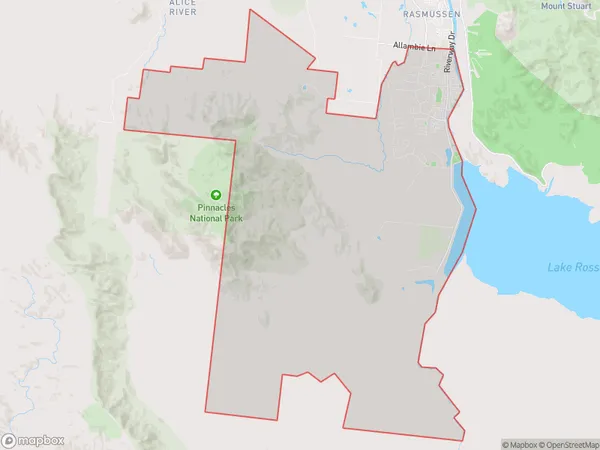
Kelso Suburbs & Region, Kelso Map & Postcodes
Kelso Suburbs & Region, Kelso Map & Postcodes in Kelso, Townsville, QLD, AU
Kelso Region
Region Name
Kelso (QLD, AU)Kelso Area
170.36 square kilometers (170.36 ㎢)Postal Codes
4815 (In total, there are 1 postcodes in Kelso.)Kelso Introduction
Kelso is a locality in the City of Townsville, Queensland, Australia. It is part of the North Queensland region. Kelso is located 10 kilometers west of the Townsville city center. The population of Kelso at the 2011 Census was 1,652 people. Kelso is a popular suburb for families and has a number of parks and recreational facilities, including a swimming pool, sports fields, and a skate park. The suburb also has a number of schools, including Kelso State School and St Joseph's College. The main road through Kelso is called Mount Scott Road and provides access to the Townsville CBD and other surrounding areas. The suburb is also served by a number of bus routes. Kelso is a safe and friendly suburb with a strong sense of community. It is a popular place to live and work and is known for its beautiful gardens and peaceful atmosphere.Australia State
City or Big Region
Greater Capital City
Rest of Qld (3RQLD)District or Regional Area
Suburb Name
Kelso Region Map

Kelso Postcodes / Zip Codes
Kelso Suburbs
Kelso full address
Kelso, Townsville, Queensland, QLD, Australia, SaCode: 318021480Country
Kelso, Townsville, Queensland, QLD, Australia, SaCode: 318021480
Kelso Suburbs & Region, Kelso Map & Postcodes has 0 areas or regions above, and there are 2 Kelso suburbs below. The sa2code for the Kelso region is 318021480. Its latitude and longitude coordinates are -19.4415,146.711. Kelso area belongs to Australia's greater capital city Rest of Qld.
Kelso Suburbs & Localities
1. Kelso
2. Pinnacles
