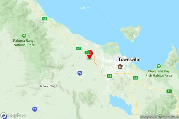
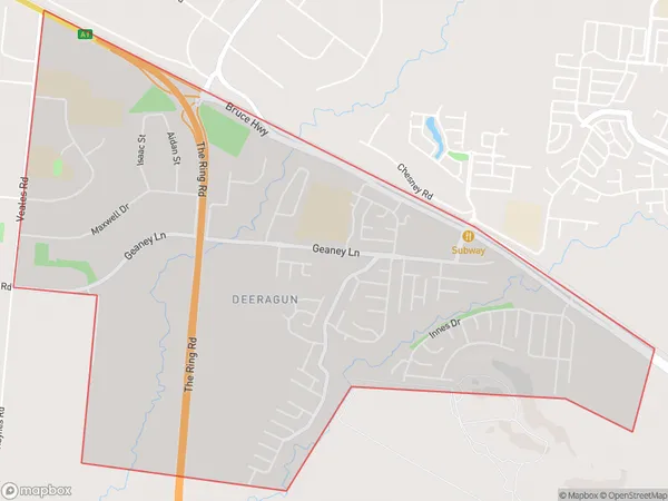
Deeragun Suburbs & Region, Deeragun Map & Postcodes
Deeragun Suburbs & Region, Deeragun Map & Postcodes in Deeragun, Townsville, QLD, AU
Deeragun Region
Region Name
Deeragun (QLD, AU)Postal Codes
4818 (In total, there are 1 postcodes in Deeragun.)Deeragun Introduction
Deeragun is a locality in the City of Townsville, Queensland, Australia. It is part of the North Queensland region. Deeragun is located 16 kilometers northwest of the Townsville central business district. The locality is named after the Deeragun Creek which flows through it. The creek was named by the explorer John McDouall Stuart in 1860. Deeragun is a rural area with a population of around 1,000 people. The majority of the population are farmers who grow sugarcane, cotton, and bananas. The area also has a number of cattle stations and a sugar mill. There are a few schools in the locality, including Deeragun State School and St Paul's Catholic Primary School. The nearest major town is Ingham, which is 30 kilometers away. Deeragun has a post office and a general store. The area is surrounded by beautiful scenery, including the Mount Superbus National Park and the Girramay National Park.Australia State
City or Big Region
District or Regional Area
Suburb Name
Deeragun Region Map

Deeragun Postcodes / Zip Codes
Deeragun Suburbs
Deeragun full address
Deeragun, Townsville, Queensland, QLD, Australia, SaCode: 318021473Country
Deeragun, Townsville, Queensland, QLD, Australia, SaCode: 318021473
Deeragun Suburbs & Region, Deeragun Map & Postcodes has 0 areas or regions above, and there are 7 Deeragun suburbs below. The sa2code for the Deeragun region is 318021473. Its latitude and longitude coordinates are -19.2572,146.641.
Deeragun Suburbs & Localities
1. Beach Holm
2. Innes
3. Mount Low
4. Burdell
5. Deeragun
6. Bushland Beach
7. Jensen
