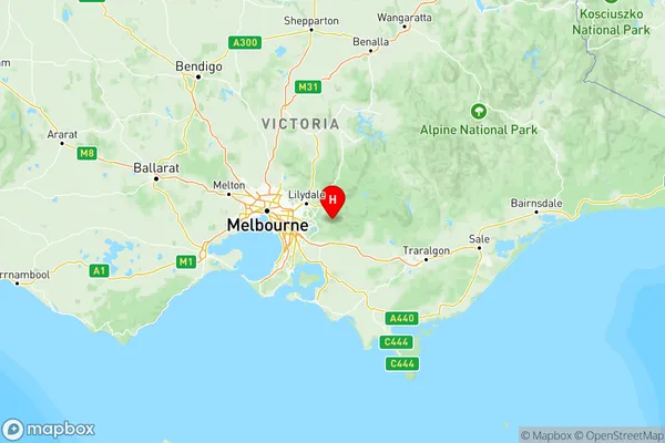
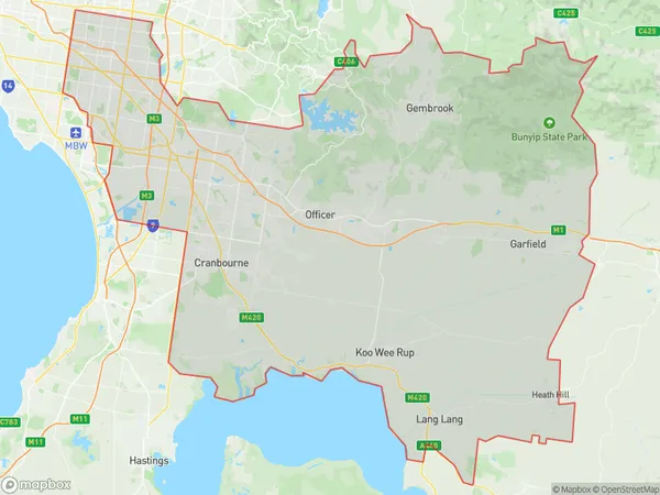
Melbourne South East Suburbs & Region, Melbourne South East Map & Postcodes
Melbourne South East Suburbs & Region, Melbourne South East Map & Postcodes in Melbourne South East, VIC, AU
Melbourne South East Region
Region Name
Melbourne South East (VIC, AU)Melbourne South East Area
1922 square kilometers (1,922 ㎢)Postal Codes
3125, 3139, from 3147 to 3150, 3156, 3164, from 3166 to 3175, 3177, from 3781 to 3783, 3800, from 3802 to 3810, from 3812 to 3816, 3975, 3976, 3978, 3980, 3981, 3984, 3987, and 8785 (In total, there are 45 postcodes in Melbourne South East.)Melbourne South East Introduction
Melbourne South East is a suburb in Melbourne, Victoria, Australia. It is located 10 kilometers southeast of Melbourne's central business district. The suburb is home to a diverse population and is known for its well-developed infrastructure. It has a variety of shopping centers, parks, and recreational facilities, including the Monash University Clayton Campus. Melbourne South East is also home to several major hospitals, including the Monash Medical Centre and the Alfred Hospital. The suburb is well-connected to the rest of Melbourne via public transportation, with several bus and train lines serving the area.Australia State
City or Big Region
Melbourne South East Region Map

Melbourne South East Postcodes / Zip Codes
Melbourne South East Suburbs
Casey North
Casey South
Melbourne South East full address
Melbourne South East, Victoria, VIC, Australia, SaCode: 212Country
Melbourne South East, Victoria, VIC, Australia, SaCode: 212
Melbourne South East Suburbs & Region, Melbourne South East Map & Postcodes has 5 areas or regions above, and there are 135 Melbourne South East suburbs below. The sa4code for the Melbourne South East region is 212. Its latitude and longitude coordinates are -37.8986,145.609.
Melbourne South East Suburbs & Localities
1. Modella
2. Nyora
3. Adams Estate
4. Ashburton
5. Surrey Hills South
6. Hughesdale
7. Chadstone Centre
8. Lysterfield
9. Narre Warren East
10. Macclesfield
11. Wandin North
12. Beaconsfield
13. Officer
14. Cora Lynn
15. Nar Nar Goon North
16. Bunyip North
17. Koo Wee Rup North
18. Tynong
19. Cockatoo
20. Gembrook
21. Pakenham Upper
22. Beaconsfield Upper
23. Cardinia
24. Berwick
25. Eumemmerring
26. Hallam
27. Endeavour Hills
28. Fountain Gate
29. Hampton Park
30. Lyndhurst
31. Tooradin
32. Clarinda
33. Dandenong South
34. Dandenong
35. Dingley Village
36. Keysborough
37. Sandown Village
38. Noble Park North
39. Clayton
40. Monash University
41. Glen Waverley
42. Syndal
43. Waverley Gardens
44. Oakleigh South
