Lysterfield Area, Lysterfield Postcode(3156) & Map in Lysterfield, Melbourne - Outer East, VIC
Lysterfield Area, Lysterfield Postcode(3156) & Map in Lysterfield, Melbourne - Outer East, VIC, AU, Postcode: 3156
Lysterfield, Lysterfield, Knox, Melbourne - Outer East, Victoria, Australia, 3156
Lysterfield Postcode
Area Name
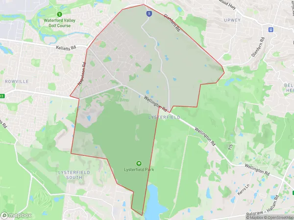
LysterfieldLysterfield Suburb Area Map (Polygon)

Lysterfield Introduction
Lysterfield is a suburb located in Melbourne's outer east, 12 kilometers from the city center. It is well-known for its lush parks, tree-lined streets, and historic homes. The area has a variety of shopping centers, including Lysterfield Plaza, which features a mix of retail stores, cafes, and restaurants. Lysterfield is also home to several primary and secondary schools, as well as a hospital and a community health center. The suburb is surrounded by beautiful bushland, including the Lysterfield Park and the Yarra Valley National Park, which offer a range of outdoor activities such as hiking, cycling, and picnicking.State Name
City or Big Region
District or Regional Area
Suburb Name
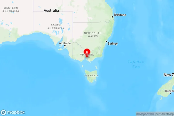
Lysterfield Region Map

Country
Main Region in AU
R1Coordinates
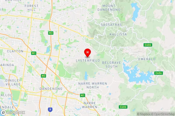
-37.93,145.301 (latitude/longitude)Lysterfield Area Map (Street)

Longitude
145.292895Latitude
-37.917932Lysterfield Suburb Map (Satellite)
Not available for nowDistances
The distance from Lysterfield, Melbourne - Outer East, VIC to AU Greater Capital CitiesSA1 Code 2011
21101125511SA1 Code 2016
21101125511SA2 Code
211011255SA3 Code
21101SA4 Code
211RA 2011
1RA 2016
1MMM 2015
1MMM 2019
1Charge Zone
V1LGA Region
KnoxLGA Code
23670Electorate
Casey