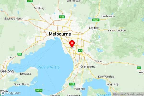
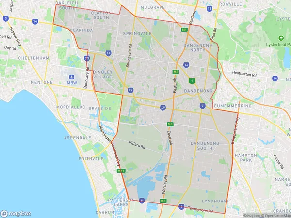
Dandenong Suburbs & Region, Dandenong Map & Postcodes
Dandenong Suburbs & Region, Dandenong Map & Postcodes in Dandenong, Melbourne South East, VIC, AU
Dandenong Region
Region Name
Dandenong (VIC, AU)Dandenong Area
151.05 square kilometers (151.05 ㎢)Postal Codes
3164, 3169, from 3171 to 3175, 3975, and 8785 (In total, there are 9 postcodes in Dandenong.)Dandenong Introduction
Dandenong is a suburb in Melbourne's southeast, 11 kilometers from the city center. It is well-known for its beautiful gardens, such as the Dandenong Ranges National Park and the National Rhododendron Gardens. The suburb has a rich cultural heritage, with many historic buildings and museums, including the Dandenong Museum and the Chirnside Park Art Gallery. Dandenong is also home to a variety of industries, including manufacturing, technology, and tourism. It is a popular destination for outdoor activities, with many parks and reserves, including the Dandenong Creek Trail and the Mount Dandenong Tourist Park.Australia State
City or Big Region
District or Regional Area
Dandenong Region Map

Dandenong Postcodes / Zip Codes
Dandenong Suburbs
Lynbrook Lyndhurst
Clarinda Oakleigh South
Dandenong North
Dingley Village
Noble Park North
Springvale South
Noble Park East
Noble Park West
Dandenong North
Dandenong South
Keysborough North
Keysborough South
Dandenong full address
Dandenong, Melbourne South East, Victoria, VIC, Australia, SaCode: 21204Country
Dandenong, Melbourne South East, Victoria, VIC, Australia, SaCode: 21204
Dandenong Suburbs & Region, Dandenong Map & Postcodes has 16 areas or regions above, and there are 21 Dandenong suburbs below. The sa3code for the Dandenong region is 21204. Its latitude and longitude coordinates are -37.941,145.103.
Dandenong Suburbs & Localities
1. Dandenong South
2. Bangholme
3. Clarinda
4. Dingley Village
5. Noble Park North
6. Dandenong
7. Dandenong East
8. Dandenong North
9. Sandown Village
10. Springvale
11. Springvale South
12. Noble Park East
13. Dandenong South
14. Dunearn
15. Clayton South
16. Keysborough
17. Noble Park
18. Lyndhurst
19. Lynbrook
20. Dandenong South
21. Dandenong
